
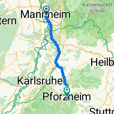
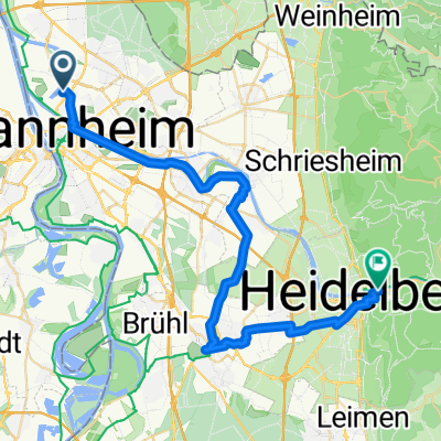
Hofheim am Taunus - Mannheim
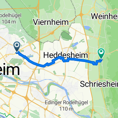
Bobenheim-Roxheim - Mannheim
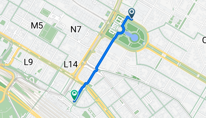
A cycling route starting in Mannheim, Baden-Wurttemberg, Germany.
Overview
About this route
- 5 min
- Duration
- 0.9 km
- Distance
- 4 m
- Ascent
- 6 m
- Descent
- 11.9 km/h
- Avg. speed
- 104 m
- Max. altitude

Part of
Hofheim am Taunus - Mannheim
5 stages
Route quality
Waytypes & surfaces along the route
Waytypes
Quiet road
0.3 km
(33 %)
Pedestrian area
0.2 km
(23 %)
Surfaces
Paved
0.6 km
(62 %)
Asphalt
0.6 km
(62 %)
Undefined
0.4 km
(38 %)
Continue with Bikemap
Use, edit, or download this cycling route
You would like to ride Bobenheim-Roxheim - Mannheim or customize it for your own trip? Here is what you can do with this Bikemap route:
Free features
- Save this route as favorite or in collections
- Copy & plan your own version of this route
- Sync your route with Garmin or Wahoo
Premium features
Free trial for 3 days, or one-time payment. More about Bikemap Premium.
- Navigate this route on iOS & Android
- Export a GPX / KML file of this route
- Create your custom printout (try it for free)
- Download this route for offline navigation
Discover more Premium features.
Get Bikemap PremiumFrom our community
Other popular routes starting in Mannheim
 Worms - Bruchsal
- Distance
- 85.8 km
- Ascent
- 656 m
- Descent
- 481 m
- Location
- Mannheim, Baden-Wurttemberg, Germany
 Trainingsrunde
- Distance
- 69.5 km
- Ascent
- 630 m
- Descent
- 619 m
- Location
- Mannheim, Baden-Wurttemberg, Germany
 HD Traillauf
- Distance
- 62.1 km
- Ascent
- 504 m
- Descent
- 504 m
- Location
- Mannheim, Baden-Wurttemberg, Germany
 Ludwigshafen am Rhein - Budenheim
- Distance
- 83.3 km
- Ascent
- 215 m
- Descent
- 227 m
- Location
- Mannheim, Baden-Wurttemberg, Germany
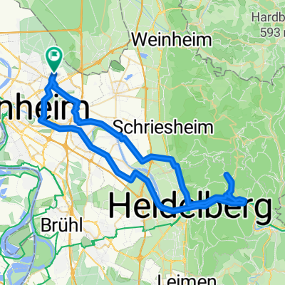
 Von Mannheim bis Heidelberg über Schwetzingen länger
- Distance
- 41.3 km
- Ascent
- 123 m
- Descent
- 103 m
- Location
- Mannheim, Baden-Wurttemberg, Germany
 Weinheimer Straße, Mannheim nach Großsachsener Straße, Hirschberg an der Bergstraße
- Distance
- 13 km
- Ascent
- 37 m
- Descent
- 19 m
- Location
- Mannheim, Baden-Wurttemberg, Germany
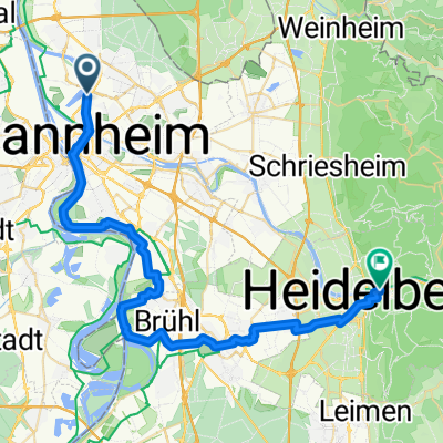
 Von Mannheim bis Heidelberg
- Distance
- 37.9 km
- Ascent
- 85 m
- Descent
- 63 m
- Location
- Mannheim, Baden-Wurttemberg, Germany
 Odenwälder Hügel-Hopping
- Distance
- 63.1 km
- Ascent
- 989 m
- Descent
- 987 m
- Location
- Mannheim, Baden-Wurttemberg, Germany
Open it in the app