
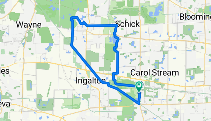
Timber Ridge Launch, Tour de Wayne
A cycling route starting in Carol Stream, Illinois, United States.
Overview
About this route
- 1 h 21 min
- Duration
- 25.9 km
- Distance
- 120 m
- Ascent
- 84 m
- Descent
- 19.2 km/h
- Avg. speed
- 254 m
- Max. altitude

Route photos


Route quality
Waytypes & surfaces along the route
Waytypes
Cycleway
24.4 km
(94 %)
Access road
0.5 km
(2 %)
Surfaces
Paved
6.5 km
(25 %)
Unpaved
14.3 km
(55 %)
Gravel
14.3 km
(55 %)
Asphalt
6.5 km
(25 %)
Undefined
5.2 km
(20 %)
Continue with Bikemap
Use, edit, or download this cycling route
You would like to ride Timber Ridge Launch, Tour de Wayne or customize it for your own trip? Here is what you can do with this Bikemap route:
Free features
- Save this route as favorite or in collections
- Copy & plan your own version of this route
- Sync your route with Garmin or Wahoo
Premium features
Free trial for 3 days, or one-time payment. More about Bikemap Premium.
- Navigate this route on iOS & Android
- Export a GPX / KML file of this route
- Create your custom printout (try it for free)
- Download this route for offline navigation
Discover more Premium features.
Get Bikemap PremiumFrom our community
Other popular routes starting in Carol Stream
 754 Sand Creek Dr, Carol Stream to 754 Sand Creek Dr, Carol Stream
- Distance
- 24.7 km
- Ascent
- 115 m
- Descent
- 117 m
- Location
- Carol Stream, Illinois, United States
 Maybe Joey will join
- Distance
- 94.5 km
- Ascent
- 186 m
- Descent
- 190 m
- Location
- Carol Stream, Illinois, United States
- Timber Ridge Launch, Tour de Wayne
- Distance
- 25.9 km
- Ascent
- 120 m
- Descent
- 84 m
- Location
- Carol Stream, Illinois, United States
 our saturday morning ride
- Distance
- 9.5 km
- Ascent
- 22 m
- Descent
- 21 m
- Location
- Carol Stream, Illinois, United States
 Carol Stream to Geneva
- Distance
- 40.8 km
- Ascent
- 157 m
- Descent
- 160 m
- Location
- Carol Stream, Illinois, United States
 West Long haul
- Distance
- 51.4 km
- Ascent
- 199 m
- Descent
- 205 m
- Location
- Carol Stream, Illinois, United States
 winfield
- Distance
- 13.4 km
- Ascent
- 33 m
- Descent
- 39 m
- Location
- Carol Stream, Illinois, United States
 Sugar grove
- Distance
- 90.9 km
- Ascent
- 411 m
- Descent
- 412 m
- Location
- Carol Stream, Illinois, United States
Open it in the app