

Amperschlucht-schöngeising-mammendorf
A cycling route starting in Mammendorf, Bavaria, Germany.
Overview
About this route
Mountain bike
- -:--
- Duration
- 25.4 km
- Distance
- 203 m
- Ascent
- 206 m
- Descent
- ---
- Avg. speed
- ---
- Max. altitude
Continue with Bikemap
Use, edit, or download this cycling route
You would like to ride Amperschlucht-schöngeising-mammendorf or customize it for your own trip? Here is what you can do with this Bikemap route:
Free features
- Save this route as favorite or in collections
- Copy & plan your own version of this route
- Sync your route with Garmin or Wahoo
Premium features
Free trial for 3 days, or one-time payment. More about Bikemap Premium.
- Navigate this route on iOS & Android
- Export a GPX / KML file of this route
- Create your custom printout (try it for free)
- Download this route for offline navigation
Discover more Premium features.
Get Bikemap PremiumFrom our community
Other popular routes starting in Mammendorf
 Mammendorf-Wörthsee-Ammersee-Mammendorf
- Distance
- 52.8 km
- Ascent
- 217 m
- Descent
- 217 m
- Location
- Mammendorf, Bavaria, Germany
 Mammendorf-Odelzhausen
- Distance
- 59.3 km
- Ascent
- 411 m
- Descent
- 408 m
- Location
- Mammendorf, Bavaria, Germany
 Mammendorf-Eurasburg
- Distance
- 60.3 km
- Ascent
- 396 m
- Descent
- 398 m
- Location
- Mammendorf, Bavaria, Germany
 Hausen 60 km-23
- Distance
- 59 km
- Ascent
- 405 m
- Descent
- 402 m
- Location
- Mammendorf, Bavaria, Germany
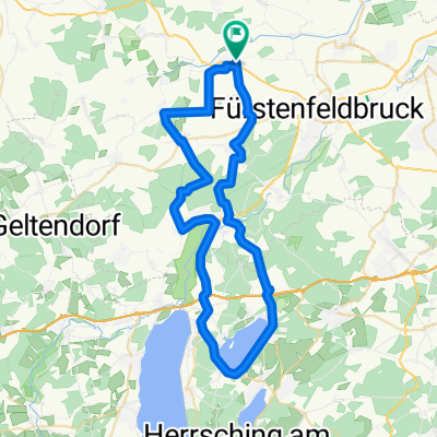
 FFB Gegend
- Distance
- 17.9 km
- Ascent
- 210 m
- Descent
- 228 m
- Location
- Mammendorf, Bavaria, Germany
 Von Mammendorf (S4) nach Herrsching (S5)
- Distance
- 62.5 km
- Ascent
- 381 m
- Descent
- 369 m
- Location
- Mammendorf, Bavaria, Germany
 Amperschlucht-schöngeising-mammendorf
- Distance
- 25.4 km
- Ascent
- 203 m
- Descent
- 206 m
- Location
- Mammendorf, Bavaria, Germany
 Mammendorf-Landsberg am Lech
- Distance
- 35.4 km
- Ascent
- 950 m
- Descent
- 879 m
- Location
- Mammendorf, Bavaria, Germany
Open it in the app