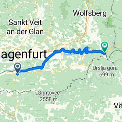
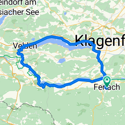
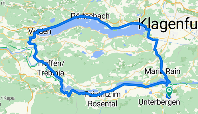
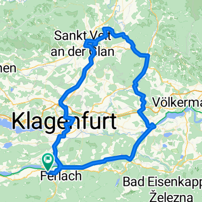
Route to Pfarrkirche Heiliger Martin in Ferlach/Borovlje
A cycling route starting in Ferlach, Carinthia, Austria.
Overview
About this route
- 4 h 24 min
- Duration
- 70.9 km
- Distance
- 579 m
- Ascent
- 579 m
- Descent
- 16.1 km/h
- Avg. speed
- 543 m
- Max. altitude
Route quality
Waytypes & surfaces along the route
Waytypes
Cycleway
35.5 km
(50 %)
Quiet road
29.1 km
(41 %)
Surfaces
Paved
45.4 km
(64 %)
Unpaved
14.9 km
(21 %)
Asphalt
44 km
(62 %)
Unpaved (undefined)
9.2 km
(13 %)
Continue with Bikemap
Use, edit, or download this cycling route
You would like to ride Route to Pfarrkirche Heiliger Martin in Ferlach/Borovlje or customize it for your own trip? Here is what you can do with this Bikemap route:
Free features
- Save this route as favorite or in collections
- Copy & plan your own version of this route
- Sync your route with Garmin or Wahoo
Premium features
Free trial for 3 days, or one-time payment. More about Bikemap Premium.
- Navigate this route on iOS & Android
- Export a GPX / KML file of this route
- Create your custom printout (try it for free)
- Download this route for offline navigation
Discover more Premium features.
Get Bikemap PremiumFrom our community
Other popular routes starting in Ferlach
- Route to Pfarrkirche Heiliger Martin in Ferlach/Borovlje
- Distance
- 70.9 km
- Ascent
- 579 m
- Descent
- 579 m
- Location
- Ferlach, Carinthia, Austria
- 10 Loiblpass-Seebergsattel 120-2700
- Distance
- 122.8 km
- Ascent
- 3,291 m
- Descent
- 3,292 m
- Location
- Ferlach, Carinthia, Austria
- Ferlach-Dravograd
- Distance
- 83.8 km
- Ascent
- 881 m
- Descent
- 953 m
- Location
- Ferlach, Carinthia, Austria
- kleine Runde am Camping Rosental
- Distance
- 41.4 km
- Ascent
- 616 m
- Descent
- 616 m
- Location
- Ferlach, Carinthia, Austria
- Eisenkappler Hütte via Scheida Sattel
- Distance
- 68.2 km
- Ascent
- 1,804 m
- Descent
- 1,808 m
- Location
- Ferlach, Carinthia, Austria
- camp rož runde 28 July, 12:24
- Distance
- 40.5 km
- Ascent
- 596 m
- Descent
- 596 m
- Location
- Ferlach, Carinthia, Austria
- CEGT2025 - Tappa 4 - da Ferlach a Sankt Paul im Levanttal
- Distance
- 81.2 km
- Ascent
- 825 m
- Descent
- 907 m
- Location
- Ferlach, Carinthia, Austria
- Race around Carinthia
- Distance
- 573.8 km
- Ascent
- 5,163 m
- Descent
- 5,164 m
- Location
- Ferlach, Carinthia, Austria
Open it in the app