
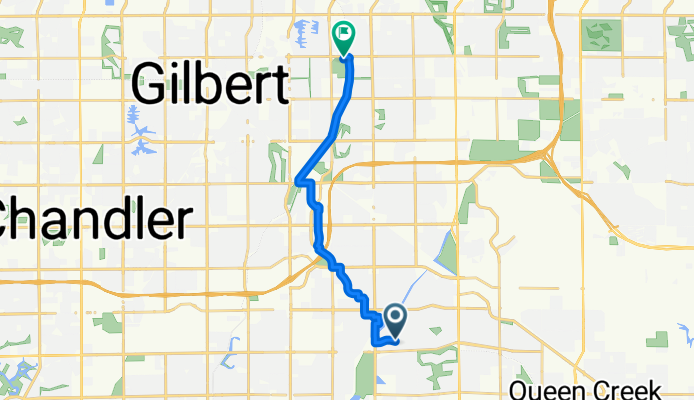
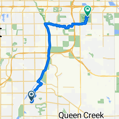
Ride to Riparian
A cycling route starting in Queen Creek, Arizona, United States.
Overview
About this route
- 1 h 7 min
- Duration
- 15.5 km
- Distance
- 17 m
- Ascent
- 25 m
- Descent
- 14 km/h
- Avg. speed
- 402 m
- Max. altitude

Route quality
Waytypes & surfaces along the route
Waytypes
Quiet road
5.1 km
(33 %)
Access road
3.4 km
(22 %)
Surfaces
Paved
8.4 km
(54 %)
Unpaved
2.5 km
(16 %)
Asphalt
5 km
(32 %)
Paved (undefined)
3.1 km
(20 %)
Continue with Bikemap
Use, edit, or download this cycling route
You would like to ride Ride to Riparian or customize it for your own trip? Here is what you can do with this Bikemap route:
Free features
- Save this route as favorite or in collections
- Copy & plan your own version of this route
- Sync your route with Garmin or Wahoo
Premium features
Free trial for 3 days, or one-time payment. More about Bikemap Premium.
- Navigate this route on iOS & Android
- Export a GPX / KML file of this route
- Create your custom printout (try it for free)
- Download this route for offline navigation
Discover more Premium features.
Get Bikemap PremiumFrom our community
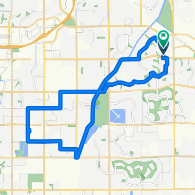
Other popular routes starting in Queen Creek
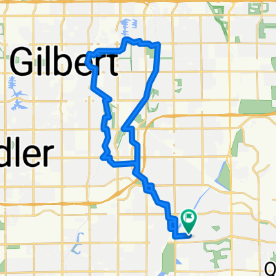 Route in Gilbert
- Distance
- 38.3 km
- Ascent
- 57 m
- Descent
- 56 m
- Location
- Queen Creek, Arizona, United States
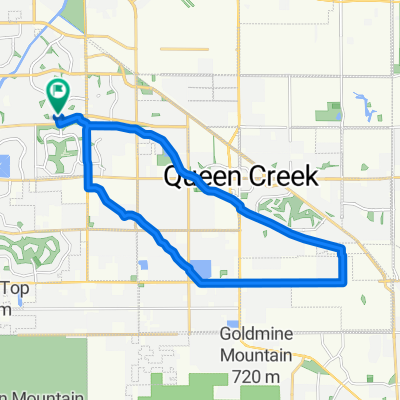
 Quick San Tan Loop (18 Miles)
- Distance
- 28.1 km
- Ascent
- 43 m
- Descent
- 42 m
- Location
- Queen Creek, Arizona, United States
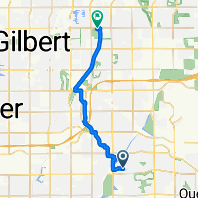 Ride to Riparian
- Distance
- 15.5 km
- Ascent
- 17 m
- Descent
- 25 m
- Location
- Queen Creek, Arizona, United States
 to frys
- Distance
- 3.7 km
- Ascent
- 8 m
- Descent
- 5 m
- Location
- Queen Creek, Arizona, United States
 E Lantern Ct, Gilbert to E Lantern Ct, Gilbert
- Distance
- 25 km
- Ascent
- 41 m
- Descent
- 40 m
- Location
- Queen Creek, Arizona, United States
 here to tray
- Distance
- 21.7 km
- Ascent
- 54 m
- Descent
- 12 m
- Location
- Queen Creek, Arizona, United States
 S Vineyard Ave, Gilbert to S Vineyard Ave, Gilbert
- Distance
- 23.9 km
- Ascent
- 39 m
- Descent
- 41 m
- Location
- Queen Creek, Arizona, United States
 10-miler: Round Trip in Queen Creek
- Distance
- 16.4 km
- Ascent
- 27 m
- Descent
- 26 m
- Location
- Queen Creek, Arizona, United States
Open it in the app