

Ruhig und trocken Fuchs
- 18.3 km
- 448 m
- 490 m
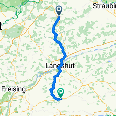
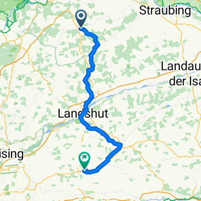
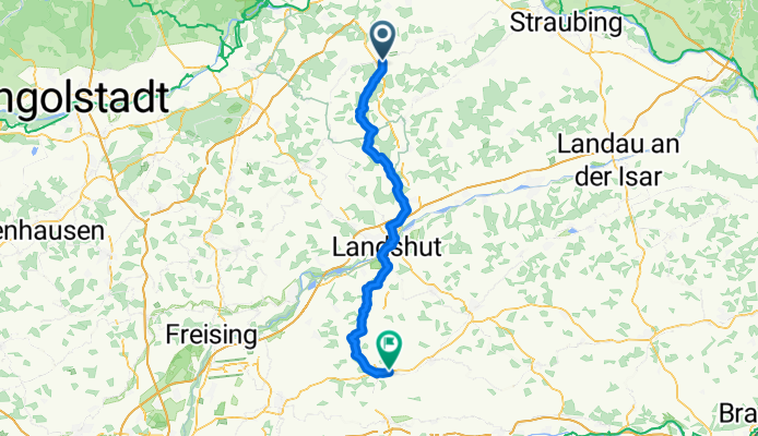
- Schierling, Bavaria, Germany
A cycling route starting in Schierling, Bavaria, Germany.
Overview
created this 4 months ago
Route quality
Road
28.4 km
(38 %)
Quiet road
26.9 km
(36 %)
Paved
59.1 km
(79 %)
Unpaved
3 km
(4 %)
Asphalt
59.1 km
(79 %)
Loose gravel
1.5 km
(2 %)
Continue with Bikemap
You would like to ride Schierling - Taufkirchen or customize it for your own trip? Here is what you can do with this Bikemap route:
Free trial for 3 days, or one-time payment. More about Bikemap Premium.
Discover more Premium features.
Get Bikemap PremiumFrom our community
Open it in the app