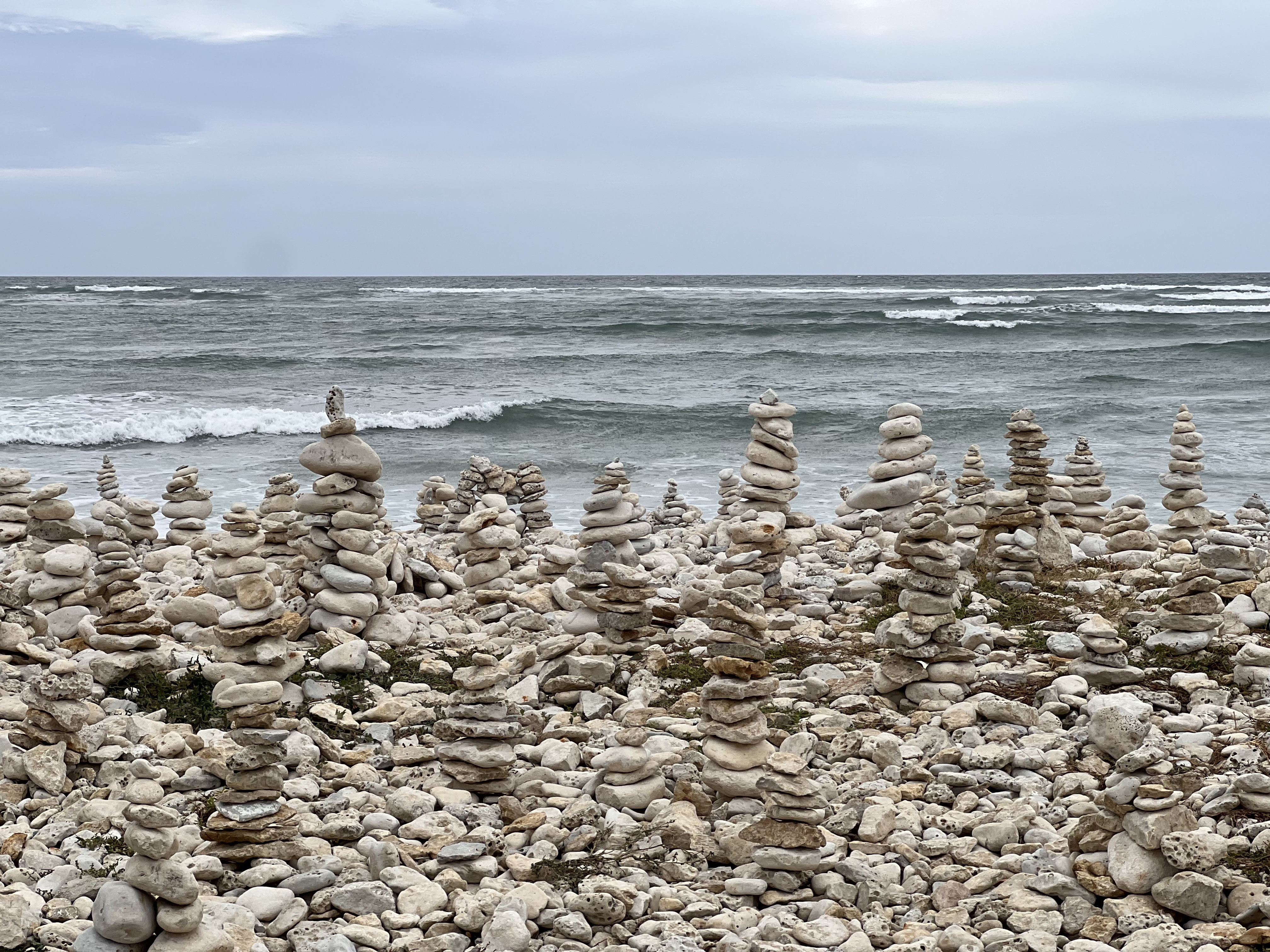

Naar Le Chassiron vuurtoren ,Gedeeltelijk gravel fietspad gedeeltelijk normale weg
- 13.7 km
- 12 m
- 12 m
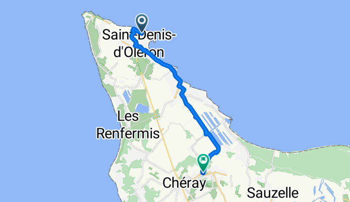
- Saint-Denis-d'Oléron, Nouvelle-Aquitaine, France
A cycling route starting in Saint-Denis-d'Oléron, Nouvelle-Aquitaine, France.
Overview
created this 4 months ago


Route quality
Quiet road
4.5 km
(40 %)
Cycleway
3.7 km
(33 %)
Paved
7.3 km
(65 %)
Unpaved
0.8 km
(7 %)
Asphalt
6 km
(54 %)
Concrete
1.2 km
(11 %)
Continue with Bikemap
You would like to ride Boulevard d'Antioche, Saint-Denis-d'Oléron à Rue du Cellier, Saint-Georges-d'Oléron or customize it for your own trip? Here is what you can do with this Bikemap route:
Free trial for 3 days, or one-time payment. More about Bikemap Premium.
Discover more Premium features.
Get Bikemap PremiumFrom our community
Open it in the app