Modhubag Road 9/F to Road Number House
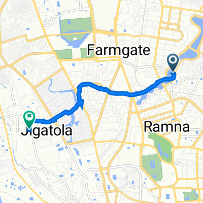
A cycling route starting in Paltan, Dhaka Division, Bangladesh.
Overview
About this route
- 4 h 12 min
- Duration
- 16.9 km
- Distance
- 727 m
- Ascent
- 678 m
- Descent
- 4 km/h
- Avg. speed
- 48 m
- Max. altitude
Route photos
Continue with Bikemap
Use, edit, or download this cycling route
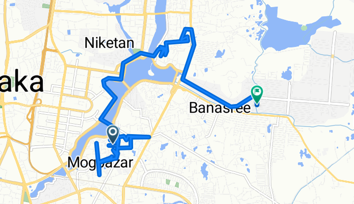
You would like to ride Modhubag Road 9/F to Road Number House or customize it for your own trip? Here is what you can do with this Bikemap route:
Free features
- Save this route as favorite or in collections
- Copy & plan your own version of this route
- Sync your route with Garmin or Wahoo
Premium features
Free trial for 3 days, or one-time payment. More about Bikemap Premium.
- Navigate this route on iOS & Android
- Export a GPX / KML file of this route
- Create your custom printout (try it for free)
- Download this route for offline navigation
Discover more Premium features.
Get Bikemap PremiumFrom our community
Other popular routes starting in Paltan
Modhubag Road 9/F to Road Number House- Distance
- 16.9 km
- Ascent
- 727 m
- Descent
- 678 m
- Location
- Paltan, Dhaka Division, Bangladesh
Gulshan 1, Dhaka to Road No. 9, Dhaka- Distance
- 2.1 km
- Ascent
- 114 m
- Descent
- 62 m
- Location
- Paltan, Dhaka Division, Bangladesh
1st Ride- Distance
- 8.8 km
- Ascent
- 12 m
- Descent
- 12 m
- Location
- Paltan, Dhaka Division, Bangladesh
Trimohoni- Distance
- 15 km
- Ascent
- 16 m
- Descent
- 13 m
- Location
- Paltan, Dhaka Division, Bangladesh
Morning Cycling- Distance
- 7.6 km
- Ascent
- 0 m
- Descent
- 8 m
- Location
- Paltan, Dhaka Division, Bangladesh
Route from Jahurul Islam Avenue, Dhaka- Distance
- 4.1 km
- Ascent
- 108 m
- Descent
- 111 m
- Location
- Paltan, Dhaka Division, Bangladesh
Dhaka to Ho Chi Minh- Distance
- 3,787.9 km
- Ascent
- 2,414 m
- Descent
- 2,424 m
- Location
- Paltan, Dhaka Division, Bangladesh
Relaxed route in- Distance
- 3.9 km
- Ascent
- 159 m
- Descent
- 161 m
- Location
- Paltan, Dhaka Division, Bangladesh
Open it in the app


