balade tour des lacs
- 8 km
- 37 m
- 37 m
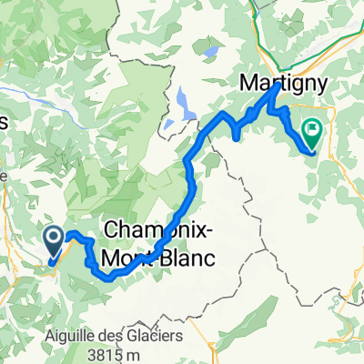
- Passy, Auvergne-Rhône-Alpes, France
A cycling route starting in Passy, Auvergne-Rhône-Alpes, France.
Overview
Passy > col de la colombière > col des aravis > megève > passy.
created this 13 years ago
Route quality
Road
7.3 km
(7 %)
Quiet road
4.1 km
(4 %)
Paved
83.9 km
(81 %)
Asphalt
83.9 km
(81 %)
Undefined
19.7 km
(19 %)
Continue with Bikemap
You would like to ride Passy 2012 or customize it for your own trip? Here is what you can do with this Bikemap route:
Free trial for 3 days, or one-time payment. More about Bikemap Premium.
Discover more Premium features.
Get Bikemap PremiumFrom our community
Open it in the app