
Zürich (Kreis 4) / Langstrasse - Unterseen
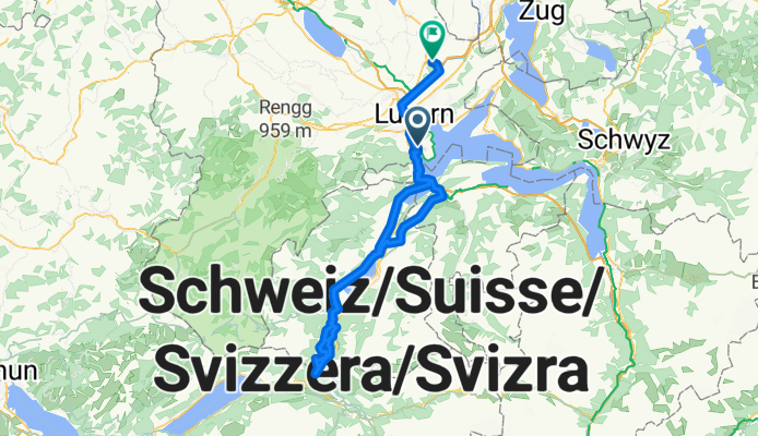
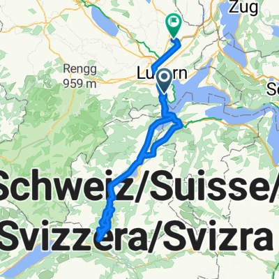
Horw - Lungern
A cycling route starting in Horw, Canton of Lucerne, Switzerland.
Overview
About this route
- 6 h 44 min
- Duration
- 103.6 km
- Distance
- 1,528 m
- Ascent
- 1,555 m
- Descent
- 15.4 km/h
- Avg. speed
- 1,022 m
- Max. altitude

Part of
Route quality
Waytypes & surfaces along the route
Waytypes
Quiet road
21.7 km
(21 %)
Road
18.6 km
(18 %)
Surfaces
Paved
54.9 km
(53 %)
Unpaved
7.2 km
(7 %)
Asphalt
49.7 km
(48 %)
Gravel
6.2 km
(6 %)
Continue with Bikemap
Use, edit, or download this cycling route
You would like to ride Horw - Lungern or customize it for your own trip? Here is what you can do with this Bikemap route:
Free features
- Save this route as favorite or in collections
- Copy & plan your own version of this route
- Split it into stages to create a multi-day tour
- Sync your route with Garmin or Wahoo
Premium features
Free trial for 3 days, or one-time payment. More about Bikemap Premium.
- Navigate this route on iOS & Android
- Export a GPX / KML file of this route
- Create your custom printout (try it for free)
- Download this route for offline navigation
Discover more Premium features.
Get Bikemap PremiumFrom our community
Other popular routes starting in Horw
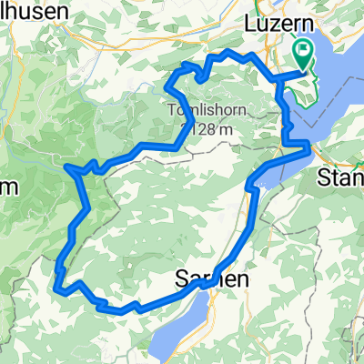 Trockenmatt - Glaubenberg
- Distance
- 81.5 km
- Ascent
- 2,598 m
- Descent
- 2,599 m
- Location
- Horw, Canton of Lucerne, Switzerland
 Wald Trail
- Distance
- 0.7 km
- Ascent
- 0 m
- Descent
- 88 m
- Location
- Horw, Canton of Lucerne, Switzerland
 Langsame Fahrt in Horw
- Distance
- 4.9 km
- Ascent
- 40 m
- Descent
- 33 m
- Location
- Horw, Canton of Lucerne, Switzerland
 Glaubenberg und um Pilatus
- Distance
- 77.4 km
- Ascent
- 2,971 m
- Descent
- 2,664 m
- Location
- Horw, Canton of Lucerne, Switzerland
 2021.08.21_Krienseregg
- Distance
- 25.1 km
- Ascent
- 1,053 m
- Descent
- 1,050 m
- Location
- Horw, Canton of Lucerne, Switzerland
 Horw - Lungern
- Distance
- 103.6 km
- Ascent
- 1,528 m
- Descent
- 1,555 m
- Location
- Horw, Canton of Lucerne, Switzerland
 Bruenigpass & Sustenpass
- Distance
- 188.7 km
- Ascent
- 2,508 m
- Descent
- 2,508 m
- Location
- Horw, Canton of Lucerne, Switzerland
 Fräckmünttegg
- Distance
- 30.3 km
- Ascent
- 1,019 m
- Descent
- 1,029 m
- Location
- Horw, Canton of Lucerne, Switzerland
Open it in the app