
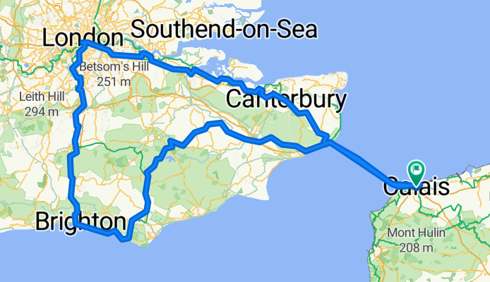
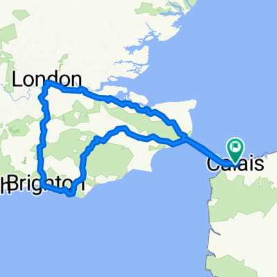
Calais - London - Calais
A cycling route starting in Calais, Hauts-de-France, France.
Overview
About this route
- 30 h 57 min
- Duration
- 535.3 km
- Distance
- 3,755 m
- Ascent
- 3,754 m
- Descent
- 17.3 km/h
- Avg. speed
- 202 m
- Max. altitude

Route quality
Waytypes & surfaces along the route
Waytypes
Cycleway
224.8 km
(42 %)
Quiet road
208.8 km
(39 %)
Surfaces
Paved
278.4 km
(52 %)
Unpaved
21.4 km
(4 %)
Asphalt
273 km
(51 %)
Gravel
16.1 km
(3 %)
Continue with Bikemap
Use, edit, or download this cycling route
You would like to ride Calais - London - Calais or customize it for your own trip? Here is what you can do with this Bikemap route:
Free features
- Save this route as favorite or in collections
- Copy & plan your own version of this route
- Split it into stages to create a multi-day tour
- Sync your route with Garmin or Wahoo
Premium features
Free trial for 3 days, or one-time payment. More about Bikemap Premium.
- Navigate this route on iOS & Android
- Export a GPX / KML file of this route
- Create your custom printout (try it for free)
- Download this route for offline navigation
Discover more Premium features.
Get Bikemap PremiumFrom our community
Other popular routes starting in Calais
 Von Calais bis Saint Ives
- Distance
- 921.6 km
- Ascent
- 8,839 m
- Descent
- 8,714 m
- Location
- Calais, Hauts-de-France, France
 CalaisDover - St. Leonard's
- Distance
- 141.2 km
- Ascent
- 732 m
- Descent
- 675 m
- Location
- Calais, Hauts-de-France, France
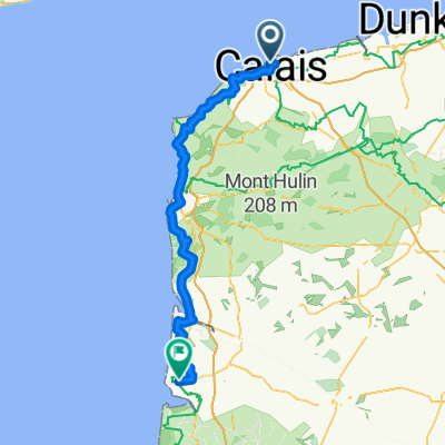 Calais - Berck
- Distance
- 101.1 km
- Ascent
- 733 m
- Descent
- 736 m
- Location
- Calais, Hauts-de-France, France
 Rue de Tunis to Rue de Rosamel
- Distance
- 75.9 km
- Ascent
- 686 m
- Descent
- 681 m
- Location
- Calais, Hauts-de-France, France
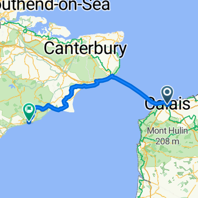
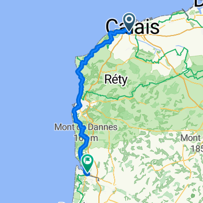
 Au Fil de l’Eau - Étape 3 - Calais - Hardelot
- Distance
- 66.6 km
- Ascent
- 651 m
- Descent
- 634 m
- Location
- Calais, Hauts-de-France, France
 Boulevard du Général de Gaulle nach Rue de Marquise
- Distance
- 38.9 km
- Ascent
- 416 m
- Descent
- 395 m
- Location
- Calais, Hauts-de-France, France
 Calais - London - Calais
- Distance
- 535.3 km
- Ascent
- 3,755 m
- Descent
- 3,754 m
- Location
- Calais, Hauts-de-France, France
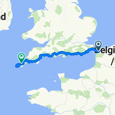
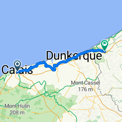 Calais to Pauwel Heinderycxstraat, Veurne
- Distance
- 77.3 km
- Ascent
- 45 m
- Descent
- 52 m
- Location
- Calais, Hauts-de-France, France
Open it in the app