
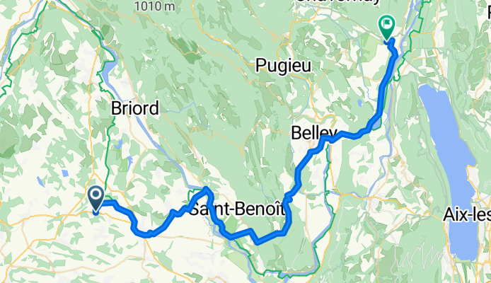
Route de Lyon, Arandon-Passins à Place Pierre Semard, Culoz-Béon
A cycling route starting in Sermérieu, Auvergne-Rhône-Alpes, France.
Overview
About this route
- 3 h 18 min
- Duration
- 57.5 km
- Distance
- 273 m
- Ascent
- 283 m
- Descent
- 17.4 km/h
- Avg. speed
- 324 m
- Max. altitude
Route photos


Route quality
Waytypes & surfaces along the route
Waytypes
Quiet road
11.5 km
(20 %)
Cycleway
8 km
(14 %)
Surfaces
Paved
29.3 km
(51 %)
Unpaved
1.7 km
(3 %)
Asphalt
29.3 km
(51 %)
Unpaved (undefined)
1.1 km
(2 %)
Continue with Bikemap
Use, edit, or download this cycling route
You would like to ride Route de Lyon, Arandon-Passins à Place Pierre Semard, Culoz-Béon or customize it for your own trip? Here is what you can do with this Bikemap route:
Free features
- Save this route as favorite or in collections
- Copy & plan your own version of this route
- Sync your route with Garmin or Wahoo
Premium features
Free trial for 3 days, or one-time payment. More about Bikemap Premium.
- Navigate this route on iOS & Android
- Export a GPX / KML file of this route
- Create your custom printout (try it for free)
- Download this route for offline navigation
Discover more Premium features.
Get Bikemap PremiumFrom our community
Other popular routes starting in Sermérieu
 vvh
vvh- Distance
- 8.8 km
- Ascent
- 57 m
- Descent
- 57 m
- Location
- Sermérieu, Auvergne-Rhône-Alpes, France
 2808 Route d'Olouise, Sermérieu à 6 Avenue du Rhône, Saint-Pierre-de-Bœuf
- Distance
- 81.4 km
- Ascent
- 625 m
- Descent
- 739 m
- Location
- Sermérieu, Auvergne-Rhône-Alpes, France
 100 Chemin de l'Epau, Arandon-Passins nach 1608–1910 Route de Travers, La Balme-les-Grottes
- Distance
- 35.9 km
- Ascent
- 106 m
- Descent
- 127 m
- Location
- Sermérieu, Auvergne-Rhône-Alpes, France
 2808 Route d'Olouise, Sermérieu à 6 Avenue du Rhône, Saint-Pierre-de-Bœuf
- Distance
- 81.4 km
- Ascent
- 625 m
- Descent
- 739 m
- Location
- Sermérieu, Auvergne-Rhône-Alpes, France
- Route de Lyon, Arandon-Passins à Place Pierre Semard, Culoz-Béon
- Distance
- 57.5 km
- Ascent
- 273 m
- Descent
- 283 m
- Location
- Sermérieu, Auvergne-Rhône-Alpes, France
 De Alaize à Route des Loyes
- Distance
- 3.4 km
- Ascent
- 80 m
- Descent
- 116 m
- Location
- Sermérieu, Auvergne-Rhône-Alpes, France
 geissliii
- Distance
- 10.3 km
- Ascent
- 110 m
- Descent
- 30 m
- Location
- Sermérieu, Auvergne-Rhône-Alpes, France
 Ecoles courtenay- optevoz
- Distance
- 7.2 km
- Ascent
- 64 m
- Descent
- 85 m
- Location
- Sermérieu, Auvergne-Rhône-Alpes, France
Open it in the app