

Rocegno-val deiMòcheni-Manghen-Rocegno
A cycling route starting in Roncegno, Trentino-Alto Adige, Italy.
Overview
About this route
- -:--
- Duration
- 108.8 km
- Distance
- 2,512 m
- Ascent
- 2,500 m
- Descent
- ---
- Avg. speed
- ---
- Max. altitude
Route quality
Waytypes & surfaces along the route
Waytypes
Busy road
87.9 km
(81 %)
Road
11.6 km
(11 %)
Surfaces
Paved
87 km
(80 %)
Unpaved
0.8 km
(<1 %)
Asphalt
86.7 km
(80 %)
Gravel
0.8 km
(<1 %)
Continue with Bikemap
Use, edit, or download this cycling route
You would like to ride Rocegno-val deiMòcheni-Manghen-Rocegno or customize it for your own trip? Here is what you can do with this Bikemap route:
Free features
- Save this route as favorite or in collections
- Copy & plan your own version of this route
- Split it into stages to create a multi-day tour
- Sync your route with Garmin or Wahoo
Premium features
Free trial for 3 days, or one-time payment. More about Bikemap Premium.
- Navigate this route on iOS & Android
- Export a GPX / KML file of this route
- Create your custom printout (try it for free)
- Download this route for offline navigation
Discover more Premium features.
Get Bikemap PremiumFrom our community
Other popular routes starting in Roncegno
 19 etapa
- Distance
- 154.4 km
- Ascent
- 4,410 m
- Descent
- 4,402 m
- Location
- Roncegno, Trentino-Alto Adige, Italy
 Roncegno - Col Perer
- Distance
- 95.2 km
- Ascent
- 1,801 m
- Descent
- 1,798 m
- Location
- Roncegno, Trentino-Alto Adige, Italy
 votofeb2018
- Distance
- 10.2 km
- Ascent
- 883 m
- Descent
- 872 m
- Location
- Roncegno, Trentino-Alto Adige, Italy
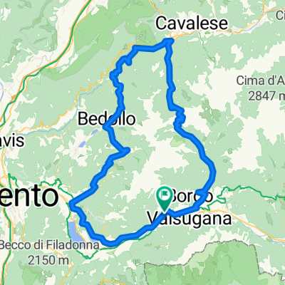 Rocegno-val deiMòcheni-Manghen-Rocegno
- Distance
- 108.8 km
- Ascent
- 2,512 m
- Descent
- 2,500 m
- Location
- Roncegno, Trentino-Alto Adige, Italy
 Transalp Tag 5 Roncegno Terme -- Kaiserjägerweg - Torbolone am Gardasee
- Distance
- 87 km
- Ascent
- 1,384 m
- Descent
- 1,799 m
- Location
- Roncegno, Trentino-Alto Adige, Italy
 Da Via Cesare Battisti 26, Roncegno a Roncegno-Municipio
- Distance
- 61.7 km
- Ascent
- 625 m
- Descent
- 609 m
- Location
- Roncegno, Trentino-Alto Adige, Italy
 CP3 TCRNO5
- Distance
- 1,080.7 km
- Ascent
- 2,783 m
- Descent
- 2,272 m
- Location
- Roncegno, Trentino-Alto Adige, Italy
 Rifugio Serot
- Distance
- 9.7 km
- Ascent
- 1,010 m
- Descent
- 5 m
- Location
- Roncegno, Trentino-Alto Adige, Italy
Open it in the app