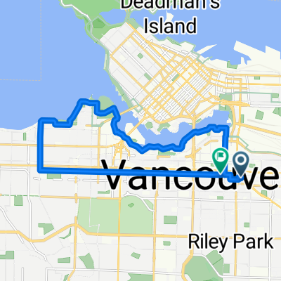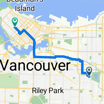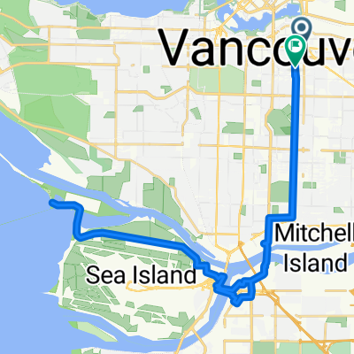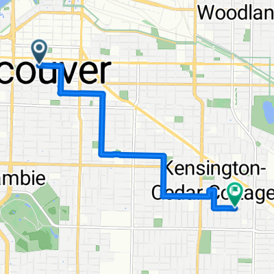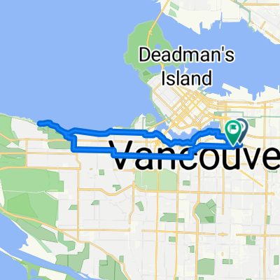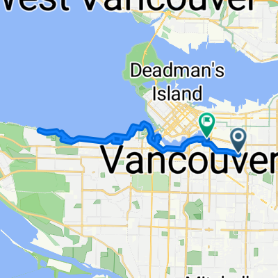

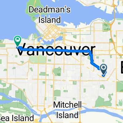
Bursill Street to West Broadway
- 12.5 km
- 73 m
- 145 m
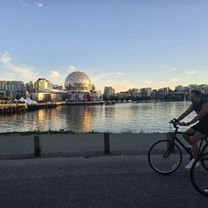
- Vancouver, British Columbia, Canada
A cycling route starting in Vancouver, British Columbia, Canada.
Overview
created this 4 months ago
Route quality
Cycleway
10.1 km
(52 %)
Quiet road
8.6 km
(44 %)
Paved
17.9 km
(92 %)
Unpaved
0.6 km
(3 %)
Asphalt
16.2 km
(83 %)
Concrete
1 km
(5 %)
Continue with Bikemap
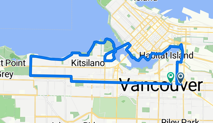
You would like to ride Loop: False Creek + South English Bay + 10th Ave or customize it for your own trip? Here is what you can do with this Bikemap route:
Free trial for 3 days, or one-time payment. More about Bikemap Premium.
Discover more Premium features.
Get Bikemap PremiumFrom our community
Open it in the app