
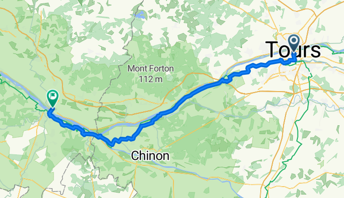
Day 3 - Tours - Saumur
A cycling route starting in Tours, Centre-Val de Loire, France.
Overview
About this route
- 4 h 20 min
- Duration
- 80.2 km
- Distance
- 383 m
- Ascent
- 406 m
- Descent
- 18.5 km/h
- Avg. speed
- 92 m
- Max. altitude

Route photos

Route quality
Waytypes & surfaces along the route
Waytypes
Quiet road
36.1 km
(45 %)
Road
20.8 km
(26 %)
Surfaces
Paved
45.7 km
(57 %)
Asphalt
40.9 km
(51 %)
Paved (undefined)
4 km
(5 %)
Continue with Bikemap
Use, edit, or download this cycling route
You would like to ride Day 3 - Tours - Saumur or customize it for your own trip? Here is what you can do with this Bikemap route:
Free features
- Save this route as favorite or in collections
- Copy & plan your own version of this route
- Split it into stages to create a multi-day tour
- Sync your route with Garmin or Wahoo
Premium features
Free trial for 3 days, or one-time payment. More about Bikemap Premium.
- Navigate this route on iOS & Android
- Export a GPX / KML file of this route
- Create your custom printout (try it for free)
- Download this route for offline navigation
Discover more Premium features.
Get Bikemap PremiumFrom our community
Other popular routes starting in Tours
- Day 3 - Tours - Saumur
- Distance
- 80.2 km
- Ascent
- 383 m
- Descent
- 406 m
- Location
- Tours, Centre-Val de Loire, France
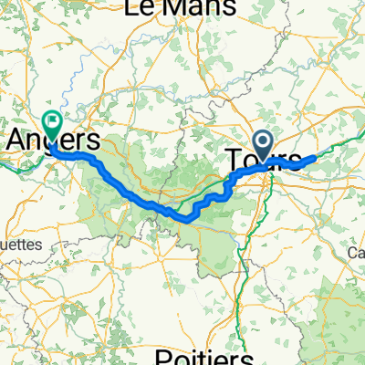 Loire Bike Tour
- Distance
- 200.6 km
- Ascent
- 1,311 m
- Descent
- 1,319 m
- Location
- Tours, Centre-Val de Loire, France
 Tour 4: Tours bis Amboise
- Distance
- 29.8 km
- Ascent
- 141 m
- Descent
- 120 m
- Location
- Tours, Centre-Val de Loire, France
 Tours boucle 25 km
- Distance
- 27 km
- Ascent
- 15 m
- Descent
- 14 m
- Location
- Tours, Centre-Val de Loire, France
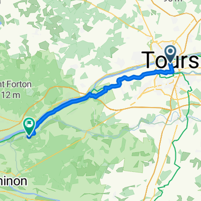 Day 4, Tours to Rigny-Ussé
- Distance
- 40.5 km
- Ascent
- 132 m
- Descent
- 134 m
- Location
- Tours, Centre-Val de Loire, France
 Part 2
- Distance
- 282.9 km
- Ascent
- 69 m
- Descent
- 120 m
- Location
- Tours, Centre-Val de Loire, France
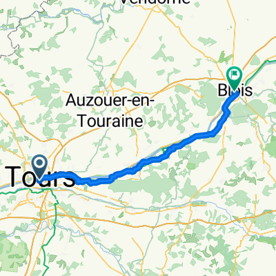 Von Tours bis Blois
- Distance
- 69.4 km
- Ascent
- 420 m
- Descent
- 375 m
- Location
- Tours, Centre-Val de Loire, France
 La Loire à Vélo avec guide
- Distance
- 75.4 km
- Ascent
- 215 m
- Descent
- 233 m
- Location
- Tours, Centre-Val de Loire, France
Open it in the app