
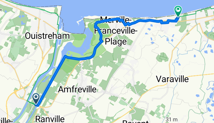
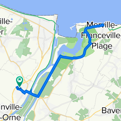
D 514, Ranville à Impasse Saint-Louis, Varaville
A cycling route starting in Bénouville, Normandy, France.
Overview
About this route
- 1 h 10 min
- Duration
- 13.5 km
- Distance
- 13 m
- Ascent
- 6 m
- Descent
- 11.6 km/h
- Avg. speed
- 12 m
- Max. altitude

Route photos


Route quality
Waytypes & surfaces along the route
Waytypes
Path
7.7 km
(57 %)
Quiet road
3.5 km
(26 %)
Surfaces
Paved
7.3 km
(54 %)
Unpaved
6.2 km
(46 %)
Asphalt
7.3 km
(54 %)
Gravel
4.2 km
(31 %)
Continue with Bikemap
Use, edit, or download this cycling route
You would like to ride D 514, Ranville à Impasse Saint-Louis, Varaville or customize it for your own trip? Here is what you can do with this Bikemap route:
Free features
- Save this route as favorite or in collections
- Copy & plan your own version of this route
- Sync your route with Garmin or Wahoo
Premium features
Free trial for 3 days, or one-time payment. More about Bikemap Premium.
- Navigate this route on iOS & Android
- Export a GPX / KML file of this route
- Create your custom printout (try it for free)
- Download this route for offline navigation
Discover more Premium features.
Get Bikemap PremiumFrom our community
Other popular routes starting in Bénouville
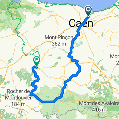 Normandie 1
- Distance
- 178.9 km
- Ascent
- 1,540 m
- Descent
- 1,417 m
- Location
- Bénouville, Normandy, France
 bénouville01
- Distance
- 58.4 km
- Ascent
- 152 m
- Descent
- 149 m
- Location
- Bénouville, Normandy, France
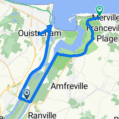 Radrunde durch Merville-Franceville-Plage
- Distance
- 21.2 km
- Ascent
- 33 m
- Descent
- 30 m
- Location
- Bénouville, Normandy, France
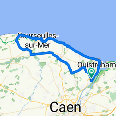
 Bénouville - Port-en-Bessin-Huppain
- Distance
- 49.7 km
- Ascent
- 205 m
- Descent
- 181 m
- Location
- Bénouville, Normandy, France
 Grande Rue 223-Tour du Contentin de Berville-sur-Mer (eure) au Mont Saint-Michel (manche), Ranville à Ranville
- Distance
- 0.7 km
- Ascent
- 0 m
- Descent
- 0 m
- Location
- Bénouville, Normandy, France
 De Rue du Mont Roty 18, Bénouville à Rue du Mont Roty 18, Bénouville
- Distance
- 21.2 km
- Ascent
- 20 m
- Descent
- 71 m
- Location
- Bénouville, Normandy, France
 Ouistreham à Deauville
- Distance
- 48.4 km
- Ascent
- 242 m
- Descent
- 241 m
- Location
- Bénouville, Normandy, France
 Caen to Fleurs
- Distance
- 73.1 km
- Ascent
- 464 m
- Descent
- 259 m
- Location
- Bénouville, Normandy, France
Open it in the app