
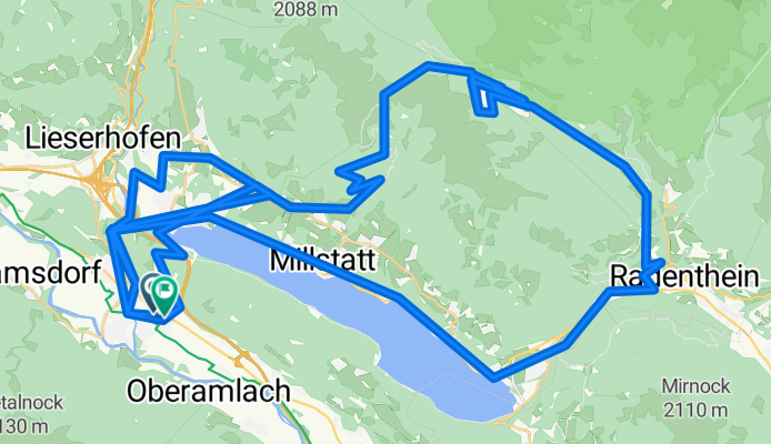
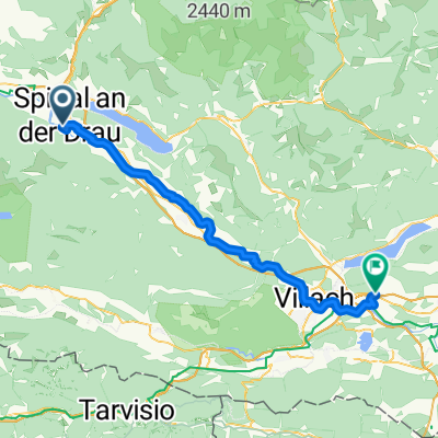
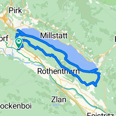
Über die Millstätter Alpe
A cycling route starting in Spittal an der Drau, Carinthia, Austria.
Overview
About this route
Took the whole day and was very exhausting :-)
- 12 h 57 min
- Duration
- 125.5 km
- Distance
- 5,287 m
- Ascent
- 5,287 m
- Descent
- 9.7 km/h
- Avg. speed
- 1,927 m
- Max. altitude
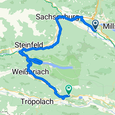
Route quality
Waytypes & surfaces along the route
Waytypes
Track
41.4 km
(33 %)
Quiet road
40.2 km
(32 %)
Surfaces
Paved
45.2 km
(36 %)
Unpaved
40.2 km
(32 %)
Asphalt
42.7 km
(34 %)
Gravel
17.6 km
(14 %)
Continue with Bikemap
Use, edit, or download this cycling route
You would like to ride Über die Millstätter Alpe or customize it for your own trip? Here is what you can do with this Bikemap route:
Free features
- Save this route as favorite or in collections
- Copy & plan your own version of this route
- Split it into stages to create a multi-day tour
- Sync your route with Garmin or Wahoo
Premium features
Free trial for 3 days, or one-time payment. More about Bikemap Premium.
- Navigate this route on iOS & Android
- Export a GPX / KML file of this route
- Create your custom printout (try it for free)
- Download this route for offline navigation
Discover more Premium features.
Get Bikemap PremiumFrom our community
Other popular routes starting in Spittal an der Drau
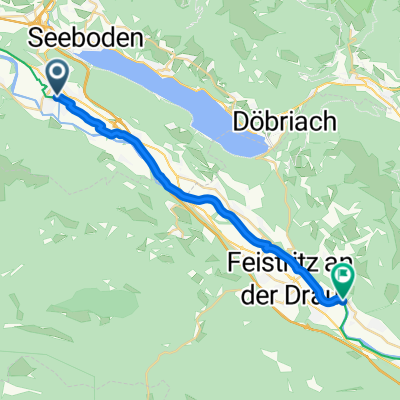 Spittal an der Drau - Fresach
- Distance
- 20.7 km
- Ascent
- 20 m
- Descent
- 56 m
- Location
- Spittal an der Drau, Carinthia, Austria
 Goldeckrunde über Siflitz
- Distance
- 69.2 km
- Ascent
- 2,346 m
- Descent
- 2,346 m
- Location
- Spittal an der Drau, Carinthia, Austria
 Über die Millstätter Alpe
- Distance
- 125.5 km
- Ascent
- 5,287 m
- Descent
- 5,287 m
- Location
- Spittal an der Drau, Carinthia, Austria
 D2_Spital:Weissensee_Hermagor
- Distance
- 71.8 km
- Ascent
- 1,256 m
- Descent
- 1,229 m
- Location
- Spittal an der Drau, Carinthia, Austria
 3_Drau_Spittal_Villach
- Distance
- 51 km
- Ascent
- 329 m
- Descent
- 293 m
- Location
- Spittal an der Drau, Carinthia, Austria
 D2_Kärnten Seen-Schleife
- Distance
- 76.4 km
- Ascent
- 1,449 m
- Descent
- 1,420 m
- Location
- Spittal an der Drau, Carinthia, Austria
 Wolfsbergrunde
- Distance
- 39.2 km
- Ascent
- 1,409 m
- Descent
- 1,409 m
- Location
- Spittal an der Drau, Carinthia, Austria
 Spittal-Paternion
- Distance
- 30.1 km
- Ascent
- 44 m
- Descent
- 52 m
- Location
- Spittal an der Drau, Carinthia, Austria
Open it in the app