
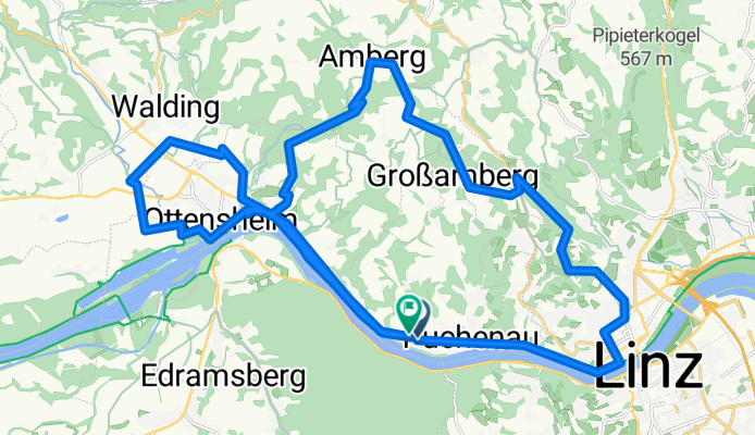
Walding - Pöstlingberg - Urfahr - Donauradweg - Walding
A cycling route starting in Leonding, Upper Austria, Austria.
Overview
About this route
Walding - Dürnberg - Pöstlingberg - Urfahr - Donauradweg - Walding
- 2 h 8 min
- Duration
- 41.8 km
- Distance
- 683 m
- Ascent
- 676 m
- Descent
- 19.6 km/h
- Avg. speed
- 664 m
- Max. altitude

Route quality
Waytypes & surfaces along the route
Waytypes
Quiet road
15 km
(36 %)
Cycleway
14.6 km
(35 %)
Surfaces
Paved
24.2 km
(58 %)
Unpaved
5.8 km
(14 %)
Asphalt
23.4 km
(56 %)
Unpaved (undefined)
3.8 km
(9 %)
Continue with Bikemap
Use, edit, or download this cycling route
You would like to ride Walding - Pöstlingberg - Urfahr - Donauradweg - Walding or customize it for your own trip? Here is what you can do with this Bikemap route:
Free features
- Save this route as favorite or in collections
- Copy & plan your own version of this route
- Sync your route with Garmin or Wahoo
Premium features
Free trial for 3 days, or one-time payment. More about Bikemap Premium.
- Navigate this route on iOS & Android
- Export a GPX / KML file of this route
- Create your custom printout (try it for free)
- Download this route for offline navigation
Discover more Premium features.
Get Bikemap PremiumFrom our community
Other popular routes starting in Leonding
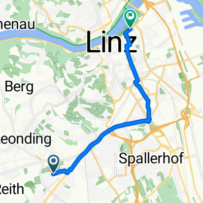 Von Leonding bis Linz
- Distance
- 7.5 km
- Ascent
- 14 m
- Descent
- 40 m
- Location
- Leonding, Upper Austria, Austria
 Bindermichl, Pasching, Leonding, Waagner, Hummelhof, Bindermichl
- Distance
- 15.9 km
- Ascent
- 127 m
- Descent
- 123 m
- Location
- Leonding, Upper Austria, Austria
 Walding - Pöstlingberg - Urfahr - Donauradweg - Walding
- Distance
- 41.8 km
- Ascent
- 683 m
- Descent
- 676 m
- Location
- Leonding, Upper Austria, Austria
 Rr21_20150911_141753.gpx
- Distance
- 50.5 km
- Ascent
- 209 m
- Descent
- 208 m
- Location
- Leonding, Upper Austria, Austria
 Kürnbergerwaldrunde
- Distance
- 9.3 km
- Ascent
- 331 m
- Descent
- 328 m
- Location
- Leonding, Upper Austria, Austria
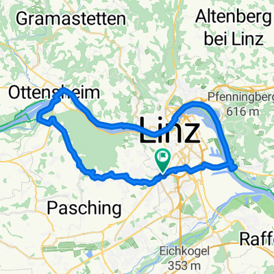
 Bis KW Ottensheim
- Distance
- 17.9 km
- Ascent
- 79 m
- Descent
- 94 m
- Location
- Leonding, Upper Austria, Austria
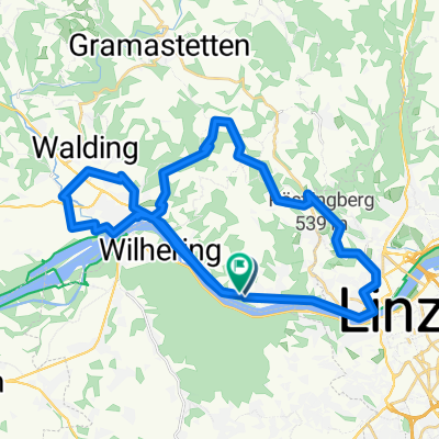
 Linz / Ottensheim / Rufling / Linz
- Distance
- 42.7 km
- Ascent
- 225 m
- Descent
- 224 m
- Location
- Leonding, Upper Austria, Austria
 Hitzing - Mistelbach
- Distance
- 37.1 km
- Ascent
- 282 m
- Descent
- 283 m
- Location
- Leonding, Upper Austria, Austria
Open it in the app