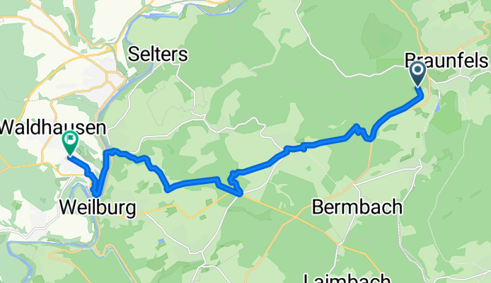
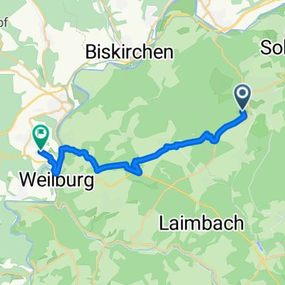
Schluchtensteig Etappe 1 Stühlingen-Blumberg, Braunfels nach Westerwaldstraße, Weilburg
- 14.4 km
- 354 m
- 311 m
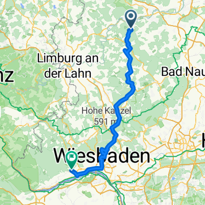
- Braunfels, Hesse, Germany
A cycling route starting in Braunfels, Hesse, Germany.
Overview
created this 4 months ago
Route quality
Track
6.5 km
(45 %)
Quiet road
3.2 km
(22 %)
Paved
8.2 km
(57 %)
Unpaved
3.2 km
(22 %)
Asphalt
5.7 km
(40 %)
Gravel
3.2 km
(22 %)
Continue with Bikemap
You would like to ride Schluchtensteig Etappe 1 Stühlingen-Blumberg, Braunfels nach Westerwaldstraße, Weilburg or customize it for your own trip? Here is what you can do with this Bikemap route:
Free trial for 3 days, or one-time payment. More about Bikemap Premium.
Discover more Premium features.
Get Bikemap PremiumFrom our community
Open it in the app