
Howard Road, London to Lonsdale Road, London
A cycling route starting in Harringay, England, United Kingdom.
Overview
About this route
- 49 min
- Duration
- 14.8 km
- Distance
- 88 m
- Ascent
- 72 m
- Descent
- 18 km/h
- Avg. speed
- 57 m
- Max. altitude
Route quality
Waytypes & surfaces along the route
Waytypes
Quiet road
11.5 km
(78 %)
Cycleway
2.2 km
(15 %)
Surfaces
Paved
12.7 km
(86 %)
Asphalt
12.6 km
(85 %)
Paved (undefined)
0.1 km
(1 %)
Undefined
2.1 km
(14 %)
Continue with Bikemap
Use, edit, or download this cycling route
You would like to ride Howard Road, London to Lonsdale Road, London or customize it for your own trip? Here is what you can do with this Bikemap route:
Free features
- Save this route as favorite or in collections
- Copy & plan your own version of this route
- Sync your route with Garmin or Wahoo
Premium features
Free trial for 3 days, or one-time payment. More about Bikemap Premium.
- Navigate this route on iOS & Android
- Export a GPX / KML file of this route
- Create your custom printout (try it for free)
- Download this route for offline navigation
Discover more Premium features.
Get Bikemap PremiumFrom our community
Other popular routes starting in Harringay
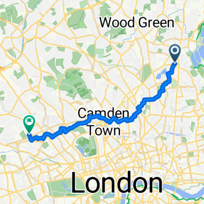 Howard Road, London to Lonsdale Road, London
- Distance
- 14.8 km
- Ascent
- 88 m
- Descent
- 72 m
- Location
- Harringay, England, United Kingdom
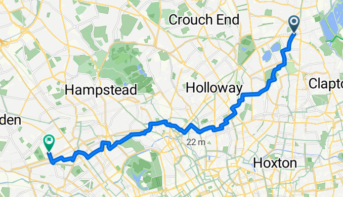
 32 Borough Challenge pt1
- Distance
- 22.6 km
- Ascent
- 27 m
- Descent
- 41 m
- Location
- Harringay, England, United Kingdom
 Manchester Road to Oval Road to work
- Distance
- 9.7 km
- Ascent
- 50 m
- Descent
- 35 m
- Location
- Harringay, England, United Kingdom
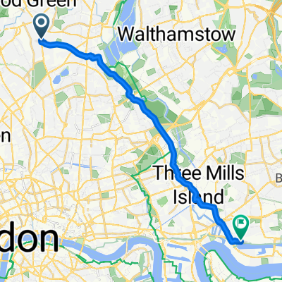
 London -> Southampton
- Distance
- 174.3 km
- Ascent
- 1,024 m
- Descent
- 1,062 m
- Location
- Harringay, England, United Kingdom
 Spring Ride
- Distance
- 12.2 km
- Ascent
- 168 m
- Descent
- 168 m
- Location
- Harringay, England, United Kingdom
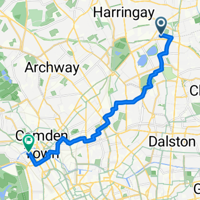
 West Green to Farringdon
- Distance
- 9.7 km
- Ascent
- 47 m
- Descent
- 43 m
- Location
- Harringay, England, United Kingdom
 Hilly North London
- Distance
- 36.2 km
- Ascent
- 464 m
- Descent
- 411 m
- Location
- Harringay, England, United Kingdom
 Excel Route
- Distance
- 14.2 km
- Ascent
- 24 m
- Descent
- 41 m
- Location
- Harringay, England, United Kingdom
Open it in the app