
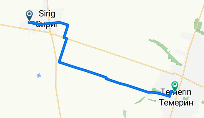
temerin
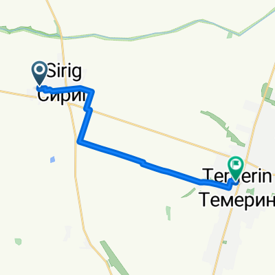
A cycling route starting in Temerin, Vojvodina, Serbia.
Overview
About this route
- 45 min
- Duration
- 10.3 km
- Distance
- 8 m
- Ascent
- 3 m
- Descent
- 13.7 km/h
- Avg. speed
- 83 m
- Max. altitude

Route quality
Waytypes & surfaces along the route
Waytypes
Track
6.5 km
(63 %)
Quiet road
3.6 km
(35 %)
Undefined
0.2 km
(2 %)
Surfaces
Paved
1.3 km
(13 %)
Asphalt
1.3 km
(13 %)
Undefined
8.9 km
(87 %)
Continue with Bikemap
Use, edit, or download this cycling route
You would like to ride temerin or customize it for your own trip? Here is what you can do with this Bikemap route:
Free features
- Save this route as favorite or in collections
- Copy & plan your own version of this route
- Sync your route with Garmin or Wahoo
Premium features
Free trial for 3 days, or one-time payment. More about Bikemap Premium.
- Navigate this route on iOS & Android
- Export a GPX / KML file of this route
- Create your custom printout (try it for free)
- Download this route for offline navigation
Discover more Premium features.
Get Bikemap PremiumFrom our community
Other popular routes starting in Temerin
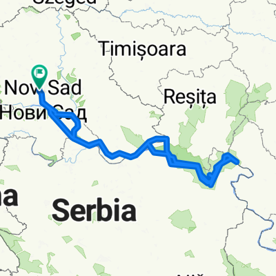 serbia
- Distance
- 713 km
- Ascent
- 1,022 m
- Descent
- 1,025 m
- Location
- Temerin, Vojvodina, Serbia
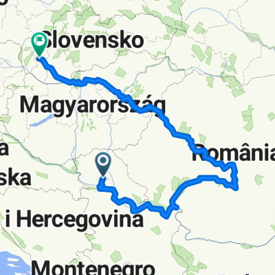 2013 cyklo rumunsko
- Distance
- 1,726.6 km
- Ascent
- 4,412 m
- Descent
- 4,352 m
- Location
- Temerin, Vojvodina, Serbia
 Temerin-Óbecse
- Distance
- 31.2 km
- Ascent
- 8 m
- Descent
- 11 m
- Location
- Temerin, Vojvodina, Serbia
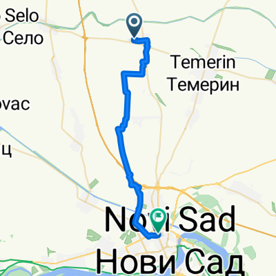 Novi Sad
- Distance
- 28.3 km
- Ascent
- 19 m
- Descent
- 19 m
- Location
- Temerin, Vojvodina, Serbia
 Batyu tábor
- Distance
- 57.6 km
- Ascent
- 43 m
- Descent
- 19 m
- Location
- Temerin, Vojvodina, Serbia
 temerin
- Distance
- 10.3 km
- Ascent
- 8 m
- Descent
- 3 m
- Location
- Temerin, Vojvodina, Serbia
 Csárda
- Distance
- 7.6 km
- Ascent
- 8 m
- Descent
- 13 m
- Location
- Temerin, Vojvodina, Serbia
 TdB, dzień 3
- Distance
- 108.5 km
- Ascent
- 88 m
- Descent
- 44 m
- Location
- Temerin, Vojvodina, Serbia
Open it in the app