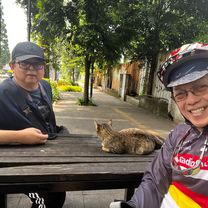
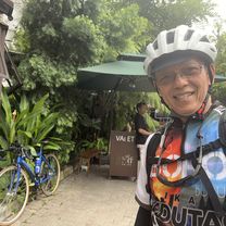
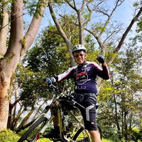
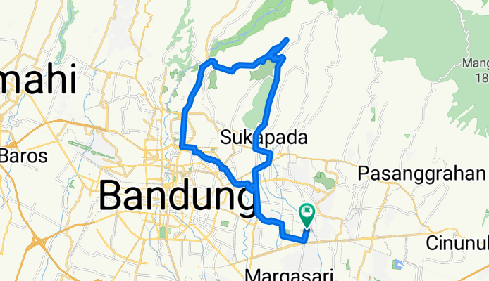
Dago Mountain View - Bojongkoneng
A cycling route starting in Bandung, West Java, Indonesia.
Overview
About this route
- 6 h 36 min
- Duration
- 34.5 km
- Distance
- 640 m
- Ascent
- 642 m
- Descent
- 5.2 km/h
- Avg. speed
- 1,082 m
- Max. altitude
Route photos
Route quality
Waytypes & surfaces along the route
Waytypes
Quiet road
14.9 km
(43 %)
Road
5.5 km
(16 %)
Surfaces
Paved
19 km
(55 %)
Asphalt
17.6 km
(51 %)
Concrete
1.4 km
(4 %)
Undefined
15.5 km
(45 %)
Continue with Bikemap
Use, edit, or download this cycling route
You would like to ride Dago Mountain View - Bojongkoneng or customize it for your own trip? Here is what you can do with this Bikemap route:
Free features
- Save this route as favorite or in collections
- Copy & plan your own version of this route
- Sync your route with Garmin or Wahoo
Premium features
Free trial for 3 days, or one-time payment. More about Bikemap Premium.
- Navigate this route on iOS & Android
- Export a GPX / KML file of this route
- Create your custom printout (try it for free)
- Download this route for offline navigation
Discover more Premium features.
Get Bikemap PremiumFrom our community
Other popular routes starting in Bandung
Gowes Santai Dago- Distance
- 26.1 km
- Ascent
- 181 m
- Descent
- 180 m
- Location
- Bandung, West Java, Indonesia
Bike Story- Distance
- 32.6 km
- Ascent
- 178 m
- Descent
- 179 m
- Location
- Bandung, West Java, Indonesia
TOL Tanjungsari - Situraja- Distance
- 62.9 km
- Ascent
- 6,160 m
- Descent
- 6,160 m
- Location
- Bandung, West Java, Indonesia
dataran tinggi- Distance
- 44.3 km
- Ascent
- 1,264 m
- Descent
- 1,284 m
- Location
- Bandung, West Java, Indonesia
Dago Mountain View - Bojongkoneng- Distance
- 34.5 km
- Ascent
- 640 m
- Descent
- 642 m
- Location
- Bandung, West Java, Indonesia
all arounderer- Distance
- 136.4 km
- Ascent
- 780 m
- Descent
- 776 m
- Location
- Bandung, West Java, Indonesia
Jando Road Bike- Distance
- 28.9 km
- Ascent
- 122 m
- Descent
- 120 m
- Location
- Bandung, West Java, Indonesia
Moderate route in Kecamatan Cimenyan- Distance
- 22.8 km
- Ascent
- 1,016 m
- Descent
- 639 m
- Location
- Bandung, West Java, Indonesia
Open it in the app


