
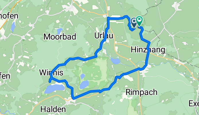
dag 1
A cycling route starting in Leutkirch, Baden-Wurttemberg, Germany.
Overview
About this route
- 1 h 11 min
- Duration
- 19.5 km
- Distance
- 171 m
- Ascent
- 174 m
- Descent
- 16.5 km/h
- Avg. speed
- 745 m
- Max. altitude
Route quality
Waytypes & surfaces along the route
Waytypes
Quiet road
10.5 km
(54 %)
Path
1.9 km
(10 %)
Surfaces
Paved
13.4 km
(69 %)
Unpaved
0.2 km
(1 %)
Asphalt
13.4 km
(69 %)
Gravel
0.2 km
(1 %)
Undefined
5.8 km
(30 %)
Continue with Bikemap
Use, edit, or download this cycling route
You would like to ride dag 1 or customize it for your own trip? Here is what you can do with this Bikemap route:
Free features
- Save this route as favorite or in collections
- Copy & plan your own version of this route
- Sync your route with Garmin or Wahoo
Premium features
Free trial for 3 days, or one-time payment. More about Bikemap Premium.
- Navigate this route on iOS & Android
- Export a GPX / KML file of this route
- Create your custom printout (try it for free)
- Download this route for offline navigation
Discover more Premium features.
Get Bikemap PremiumFrom our community
Other popular routes starting in Leutkirch
 Wengen
- Distance
- 64.3 km
- Ascent
- 649 m
- Descent
- 652 m
- Location
- Leutkirch, Baden-Wurttemberg, Germany
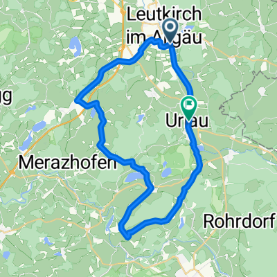
 Sieben-Seen-Tour
- Distance
- 53.9 km
- Ascent
- 312 m
- Descent
- 312 m
- Location
- Leutkirch, Baden-Wurttemberg, Germany
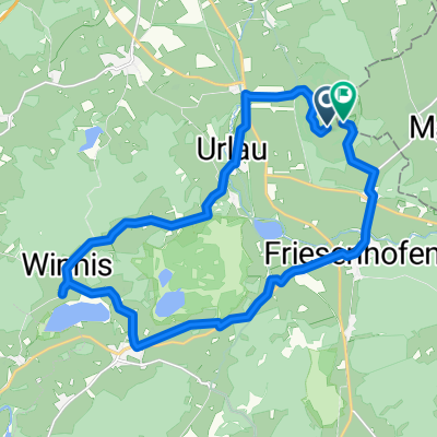
 Leutkirch Workout
- Distance
- 22.9 km
- Ascent
- 193 m
- Descent
- 169 m
- Location
- Leutkirch, Baden-Wurttemberg, Germany
 Mittwoch 11.Juli 18
- Distance
- 46.7 km
- Ascent
- 356 m
- Descent
- 360 m
- Location
- Leutkirch, Baden-Wurttemberg, Germany
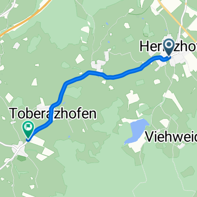 Route zu Engerazhofen
- Distance
- 3.8 km
- Ascent
- 43 m
- Descent
- 53 m
- Location
- Leutkirch, Baden-Wurttemberg, Germany
 dag 1
dag 1- Distance
- 19.5 km
- Ascent
- 171 m
- Descent
- 174 m
- Location
- Leutkirch, Baden-Wurttemberg, Germany
 Allgäuallee, Leutkirch im Allgäu nach Industriestrasse, St. Margrethen SG
- Distance
- 68.6 km
- Ascent
- 357 m
- Descent
- 680 m
- Location
- Leutkirch, Baden-Wurttemberg, Germany
 RouteLeutkirch Badsee 2
- Distance
- 38.6 km
- Ascent
- 368 m
- Descent
- 338 m
- Location
- Leutkirch, Baden-Wurttemberg, Germany
Open it in the app