
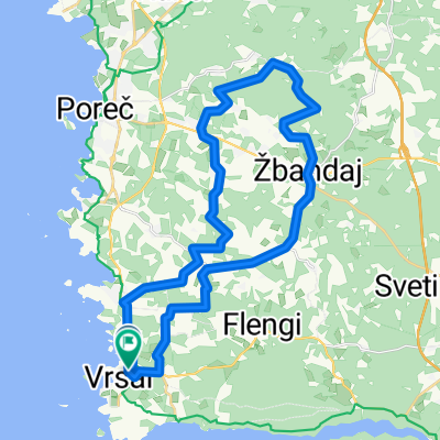
borzalom
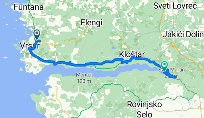
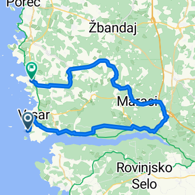
A cycling route starting in Vrsar, Istria County, Croatia.
Overview
About this route
- 6 h 29 min
- Duration
- 19.7 km
- Distance
- 382 m
- Ascent
- 459 m
- Descent
- 3 km/h
- Avg. speed
- 132 m
- Max. altitude
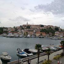
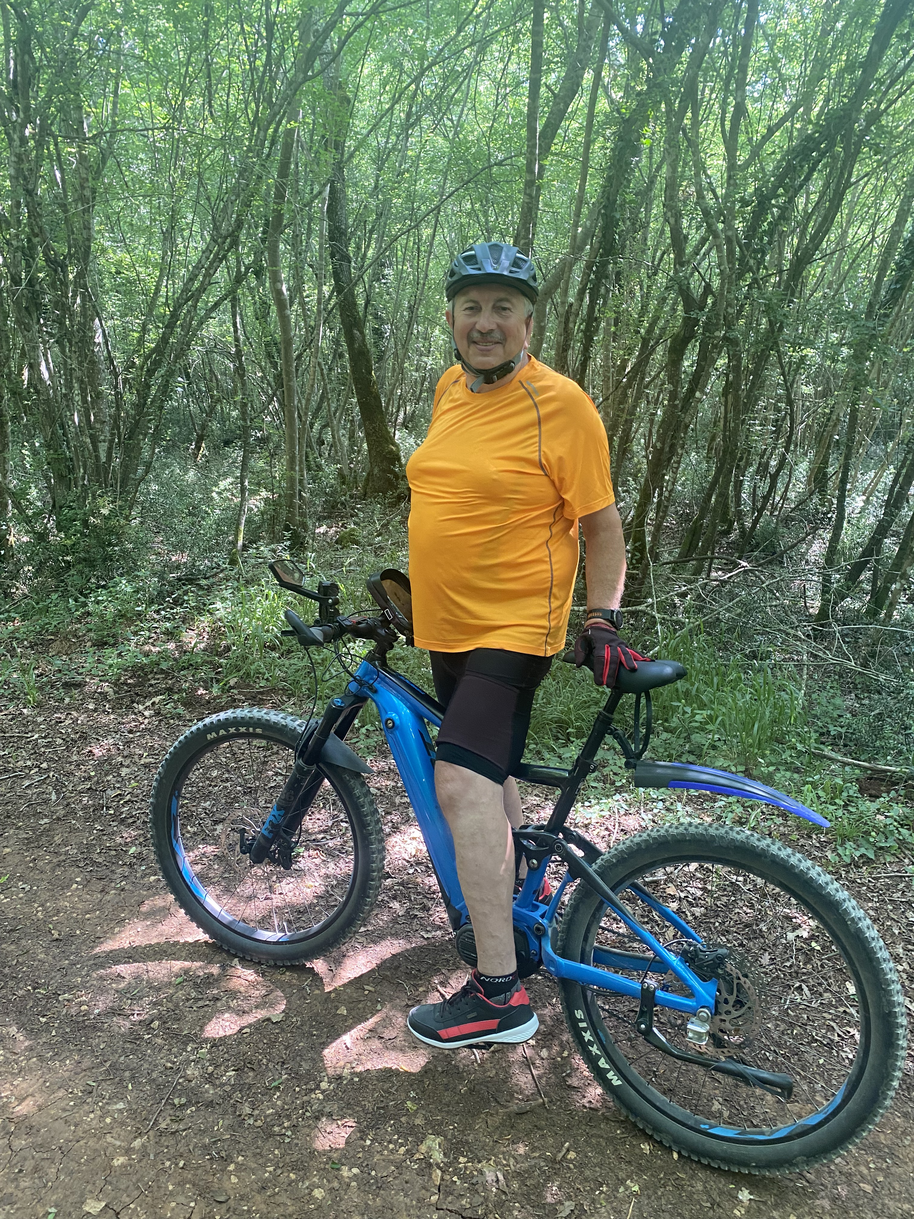
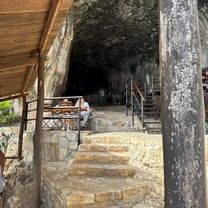
Route photos


Continue with Bikemap
Use, edit, or download this cycling route
You would like to ride borzalom or customize it for your own trip? Here is what you can do with this Bikemap route:
Free features
- Save this route as favorite or in collections
- Copy & plan your own version of this route
- Sync your route with Garmin or Wahoo
Premium features
Free trial for 3 days, or one-time payment. More about Bikemap Premium.
- Navigate this route on iOS & Android
- Export a GPX / KML file of this route
- Create your custom printout (try it for free)
- Download this route for offline navigation
Discover more Premium features.
Get Bikemap PremiumFrom our community
Other popular routes starting in Vrsar
 Dalmatinska ulica nach Dalmatinska ulica
- Distance
- 4.1 km
- Ascent
- 54 m
- Descent
- 100 m
- Location
- Vrsar, Istria County, Croatia
 borzalom
- Distance
- 19.7 km
- Ascent
- 382 m
- Descent
- 459 m
- Location
- Vrsar, Istria County, Croatia
 Vrsar nach Ulica Grgeti, Funtana
- Distance
- 31.1 km
- Ascent
- 326 m
- Descent
- 315 m
- Location
- Vrsar, Istria County, Croatia
 Istarska ulica nach Istarska ulica
- Distance
- 34.6 km
- Ascent
- 349 m
- Descent
- 351 m
- Location
- Vrsar, Istria County, Croatia
 Kloštar nach Kloštar
- Distance
- 1.7 km
- Ascent
- 32 m
- Descent
- 16 m
- Location
- Vrsar, Istria County, Croatia
 kanfarna
- Distance
- 10.5 km
- Ascent
- 21 m
- Descent
- 137 m
- Location
- Vrsar, Istria County, Croatia
 Obala Maršala Tita nach Obala Maršala Tita
- Distance
- 34 km
- Ascent
- 376 m
- Descent
- 376 m
- Location
- Vrsar, Istria County, Croatia
 Saline, Vrsar nach Vrsar
- Distance
- 22.8 km
- Ascent
- 261 m
- Descent
- 256 m
- Location
- Vrsar, Istria County, Croatia
Open it in the app