
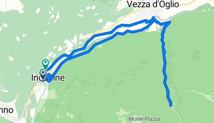
Incudine- Val Paghera
A cycling route starting in Incudine, Lombardy, Italy.
Overview
About this route
- 1 h 10 min
- Duration
- 15.5 km
- Distance
- 474 m
- Ascent
- 474 m
- Descent
- 13.2 km/h
- Avg. speed
- 1,336 m
- Max. altitude

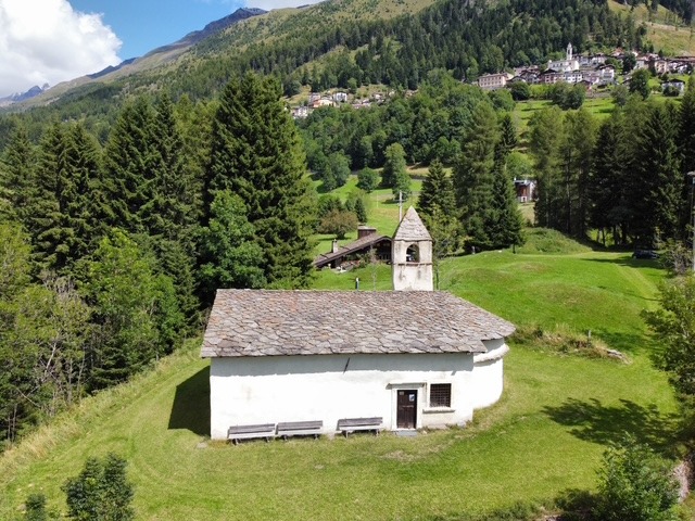
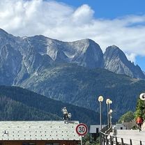
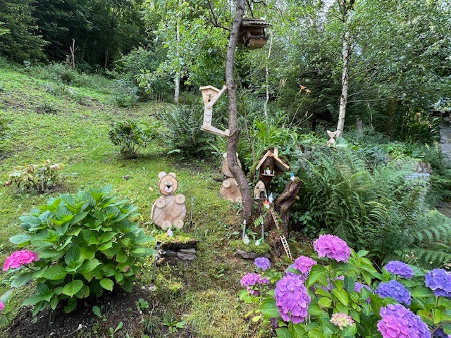
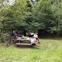
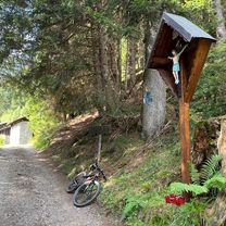
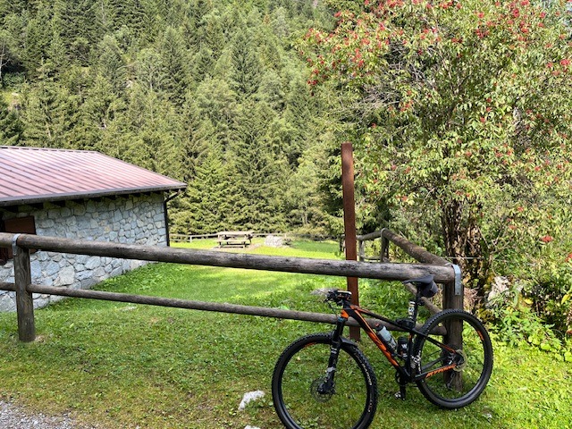
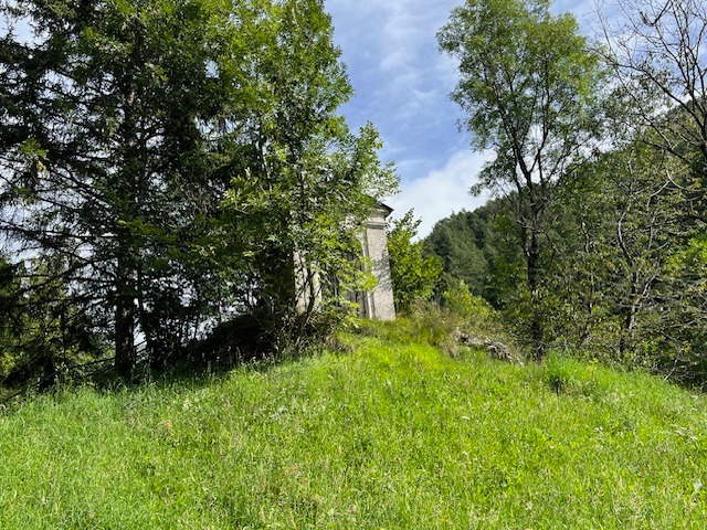
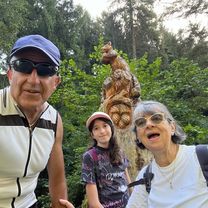
Route photos


Continue with Bikemap
Use, edit, or download this cycling route
You would like to ride Incudine- Val Paghera or customize it for your own trip? Here is what you can do with this Bikemap route:
Free features
- Save this route as favorite or in collections
- Copy & plan your own version of this route
- Sync your route with Garmin or Wahoo
Premium features
Free trial for 3 days, or one-time payment. More about Bikemap Premium.
- Navigate this route on iOS & Android
- Export a GPX / KML file of this route
- Create your custom printout (try it for free)
- Download this route for offline navigation
Discover more Premium features.
Get Bikemap PremiumFrom our community
Other popular routes starting in Incudine
 Incudine- Precasaglio
- Distance
- 38.6 km
- Ascent
- 623 m
- Descent
- 631 m
- Location
- Incudine, Lombardy, Italy
 Incudine- Zoanno
- Distance
- 33.6 km
- Ascent
- 498 m
- Descent
- 508 m
- Location
- Incudine, Lombardy, Italy
 Incudine- Temù
- Distance
- 22.6 km
- Ascent
- 288 m
- Descent
- 275 m
- Location
- Incudine, Lombardy, Italy
 Incudine- Cormignano
- Distance
- 15.2 km
- Ascent
- 454 m
- Descent
- 437 m
- Location
- Incudine, Lombardy, Italy
 Incudine- Val Paghera- Val Vallaro
- Distance
- 24.5 km
- Ascent
- 1,130 m
- Descent
- 1,128 m
- Location
- Incudine, Lombardy, Italy
 Incudine- Laghi d’Avio
- Distance
- 37.2 km
- Ascent
- 1,432 m
- Descent
- 1,436 m
- Location
- Incudine, Lombardy, Italy
 Incudine- Le Cascatelle
- Distance
- 12 km
- Ascent
- 284 m
- Descent
- 272 m
- Location
- Incudine, Lombardy, Italy
 Incudine- Laognì
- Distance
- 27 km
- Ascent
- 409 m
- Descent
- 386 m
- Location
- Incudine, Lombardy, Italy
Open it in the app