
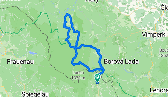
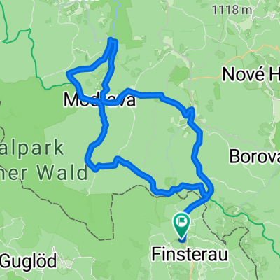
Finsterau - Bucina - Kvilda - Srni - Modrava - Finsterau
A cycling route starting in Mauth, Bavaria, Germany.
Overview
About this route
- 5 h 23 min
- Duration
- 64.4 km
- Distance
- 1,208 m
- Ascent
- 1,267 m
- Descent
- 12 km/h
- Avg. speed
- 1,270 m
- Max. altitude

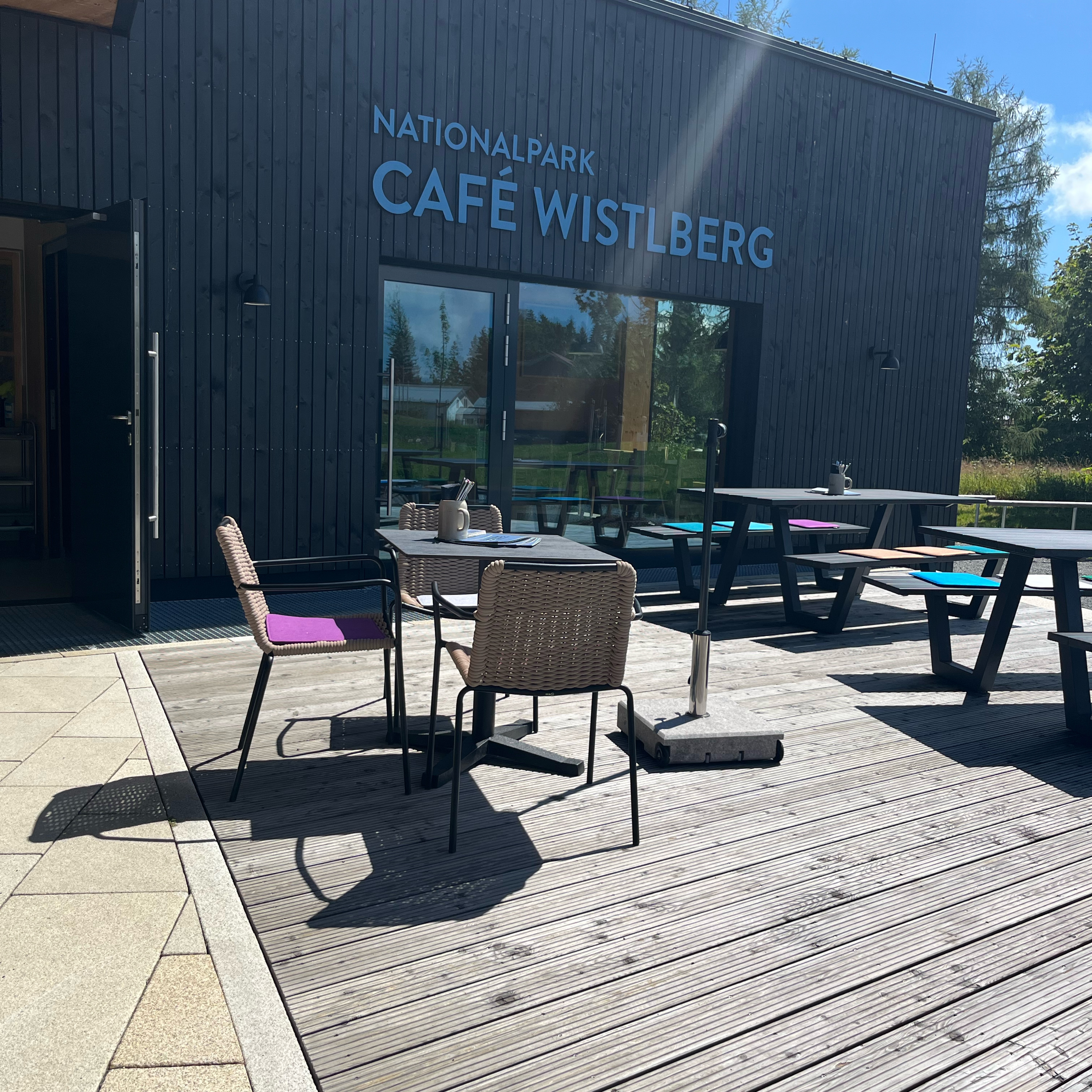
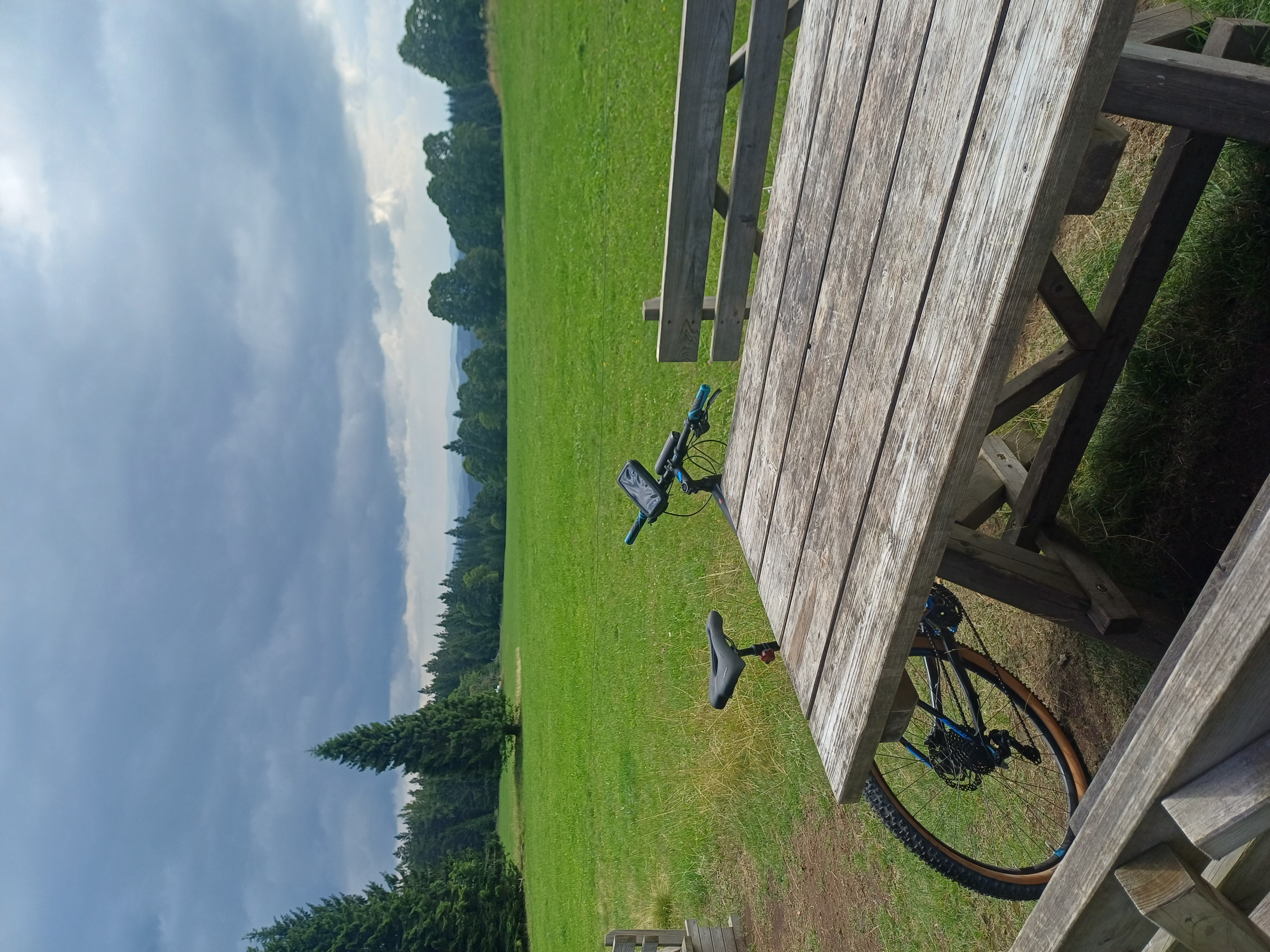
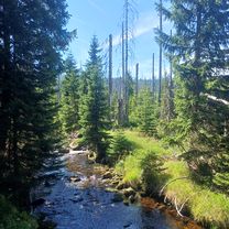
Route photos


Route quality
Waytypes & surfaces along the route
Waytypes
Track
31.6 km
(49 %)
Road
14.8 km
(23 %)
Surfaces
Paved
43.2 km
(67 %)
Unpaved
16.7 km
(26 %)
Asphalt
40.6 km
(63 %)
Gravel
8.4 km
(13 %)
Continue with Bikemap
Use, edit, or download this cycling route
You would like to ride Finsterau - Bucina - Kvilda - Srni - Modrava - Finsterau or customize it for your own trip? Here is what you can do with this Bikemap route:
Free features
- Save this route as favorite or in collections
- Copy & plan your own version of this route
- Sync your route with Garmin or Wahoo
Premium features
Free trial for 3 days, or one-time payment. More about Bikemap Premium.
- Navigate this route on iOS & Android
- Export a GPX / KML file of this route
- Create your custom printout (try it for free)
- Download this route for offline navigation
Discover more Premium features.
Get Bikemap PremiumFrom our community
Other popular routes starting in Mauth
 Halbwaldstraße, Mauth nach Halbwaldstraße, Mauth
- Distance
- 33.9 km
- Ascent
- 923 m
- Descent
- 924 m
- Location
- Mauth, Bavaria, Germany
 BW E-MTB Breznik-Nova Hute
- Distance
- 68 km
- Ascent
- 903 m
- Descent
- 904 m
- Location
- Mauth, Bavaria, Germany
 Finsterau - Bucina - Kvilda und zurück
- Distance
- 31.5 km
- Ascent
- 640 m
- Descent
- 687 m
- Location
- Mauth, Bavaria, Germany
 BW MTB Modrava-Vchynicko Kanal
- Distance
- 57.5 km
- Ascent
- 887 m
- Descent
- 886 m
- Location
- Mauth, Bavaria, Germany
 BW E-MTB Zum Wolfsgehege und nach Alaska
- Distance
- 69.9 km
- Ascent
- 951 m
- Descent
- 952 m
- Location
- Mauth, Bavaria, Germany
 Finsterau - Bucina - Kvilda - Srni - Modrava - Finsterau
- Distance
- 64.4 km
- Ascent
- 1,208 m
- Descent
- 1,267 m
- Location
- Mauth, Bavaria, Germany
 Finsterau_Modrava_Rundfahrt
- Distance
- 48.6 km
- Ascent
- 803 m
- Descent
- 803 m
- Location
- Mauth, Bavaria, Germany
 BW E-MTB Polednik
- Distance
- 70.7 km
- Ascent
- 960 m
- Descent
- 961 m
- Location
- Mauth, Bavaria, Germany
Open it in the app