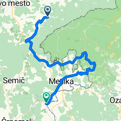
Trdinov vrh _Mihovo
- 33 km
- 1,043 m
- 1,042 m
- Šentjernej, Občina Šentjernej, Slovenia
A cycling route starting in Šentjernej, Občina Šentjernej, Slovenia.
Overview
ROUTE OF THE SMALL MARATHON:
Novo mesto - Bršljin - Prečna - Straža - Soteska - Podturn - Dolenjske Toplice - Vavta vas - Novo mesto with a length of 34 km.
ROUTE OF THE LARGE MARATHON:
Novo mesto - Bršljin - Prečna - Straža - Soteska - Podturn - Dolenjske Toplice - Vavta vas - Novo mesto – Mačkovec – Otočec – Draga - Maharovec – Šentjernej - Vrhpolje - Orehovica - Mokro Polje - Ratež - Novo mesto with a length of 76 km.
created this 13 years ago
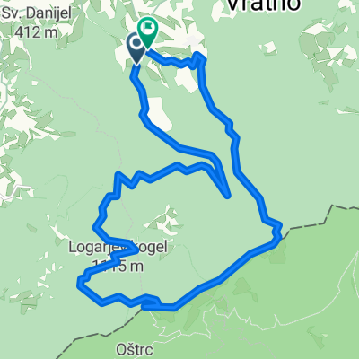
Route quality
Road
14.5 km
(22 %)
Quiet road
4 km
(6 %)
Paved
32.9 km
(50 %)
Asphalt
32.9 km
(50 %)
Undefined
32.9 km
(50 %)
Continue with Bikemap
You would like to ride MARATON PO DOLINI KRKE start šentjernej or customize it for your own trip? Here is what you can do with this Bikemap route:
Free trial for 3 days, or one-time payment. More about Bikemap Premium.
Discover more Premium features.
Get Bikemap PremiumFrom our community
Open it in the app