Lukmanier Gottardo Oberalp
- 156.6 km
- 3,192 m
- 3,208 m
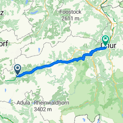
- Disentis, Grisons, Switzerland
A cycling route starting in Disentis, Grisons, Switzerland.
Overview
created this 4 months ago
Route quality
Road
24.3 km
(37 %)
Track
19.7 km
(30 %)
Paved
49.3 km
(75 %)
Unpaved
15.1 km
(23 %)
Asphalt
48.7 km
(74 %)
Gravel
13.8 km
(21 %)
Continue with Bikemap
You would like to ride Tisentis-Mustèr -> Chur or customize it for your own trip? Here is what you can do with this Bikemap route:
Free trial for 3 days, or one-time payment. More about Bikemap Premium.
Discover more Premium features.
Get Bikemap PremiumFrom our community
Open it in the app