
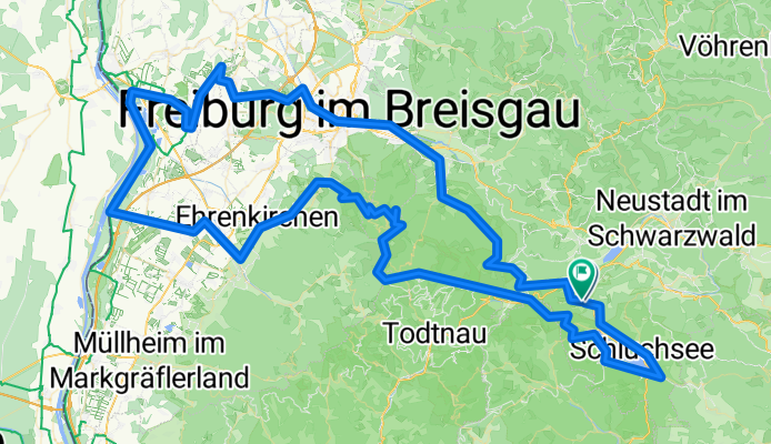
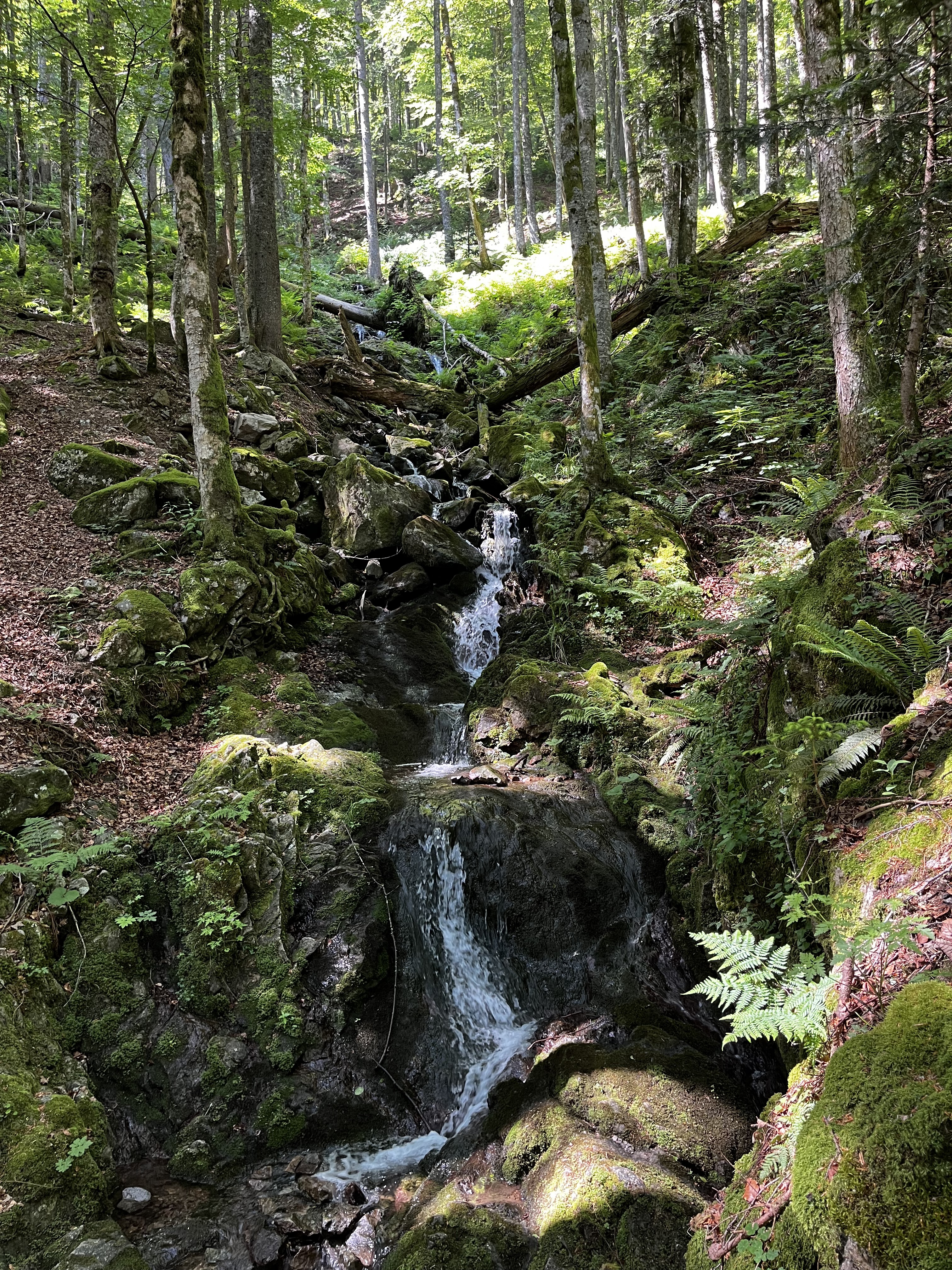
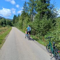
Orbit 360 Marsian Mountains
A cycling route starting in Hinterzarten, Baden-Wurttemberg, Germany.
Overview
About this route
- 11 h 18 min
- Duration
- 168.5 km
- Distance
- 2,492 m
- Ascent
- 2,478 m
- Descent
- 14.9 km/h
- Avg. speed
- 1,380 m
- Max. altitude

Continue with Bikemap
Use, edit, or download this cycling route
You would like to ride Orbit 360 Marsian Mountains or customize it for your own trip? Here is what you can do with this Bikemap route:
Free features
- Save this route as favorite or in collections
- Copy & plan your own version of this route
- Split it into stages to create a multi-day tour
- Sync your route with Garmin or Wahoo
Premium features
Free trial for 3 days, or one-time payment. More about Bikemap Premium.
- Navigate this route on iOS & Android
- Export a GPX / KML file of this route
- Create your custom printout (try it for free)
- Download this route for offline navigation
Discover more Premium features.
Get Bikemap PremiumFrom our community
Other popular routes starting in Hinterzarten
 Day 4 Direct 2
- Distance
- 66.9 km
- Ascent
- 1,815 m
- Descent
- 2,464 m
- Location
- Hinterzarten, Baden-Wurttemberg, Germany
 Von Hinterzarten bis Bonndorf im Schwarzwald
- Distance
- 30.4 km
- Ascent
- 726 m
- Descent
- 762 m
- Location
- Hinterzarten, Baden-Wurttemberg, Germany
 47.893, 8.136 nach 47.864, 8.022
- Distance
- 16 km
- Ascent
- 682 m
- Descent
- 129 m
- Location
- Hinterzarten, Baden-Wurttemberg, Germany
 Day 4 Direct 1
- Distance
- 60.7 km
- Ascent
- 1,185 m
- Descent
- 1,856 m
- Location
- Hinterzarten, Baden-Wurttemberg, Germany
 Südschwarzwald-Radweg
- Distance
- 266.4 km
- Ascent
- 1,219 m
- Descent
- 1,219 m
- Location
- Hinterzarten, Baden-Wurttemberg, Germany
 Zartenbachweg, Hinterzarten nach Zartenbachweg, Hinterzarten
- Distance
- 31.5 km
- Ascent
- 577 m
- Descent
- 576 m
- Location
- Hinterzarten, Baden-Wurttemberg, Germany
 Day 3 Part 2
- Distance
- 12.2 km
- Ascent
- 340 m
- Descent
- 242 m
- Location
- Hinterzarten, Baden-Wurttemberg, Germany
 Titisee-Neustadt - Lauchringen
- Distance
- 75.1 km
- Ascent
- 1,174 m
- Descent
- 1,690 m
- Location
- Hinterzarten, Baden-Wurttemberg, Germany
Open it in the app