
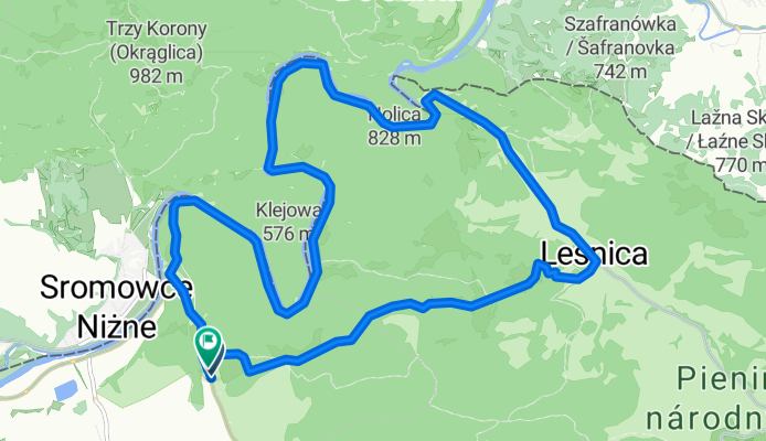
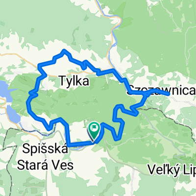
Lechnica, Červený Kláštor až Lechnica, Červený Kláštor
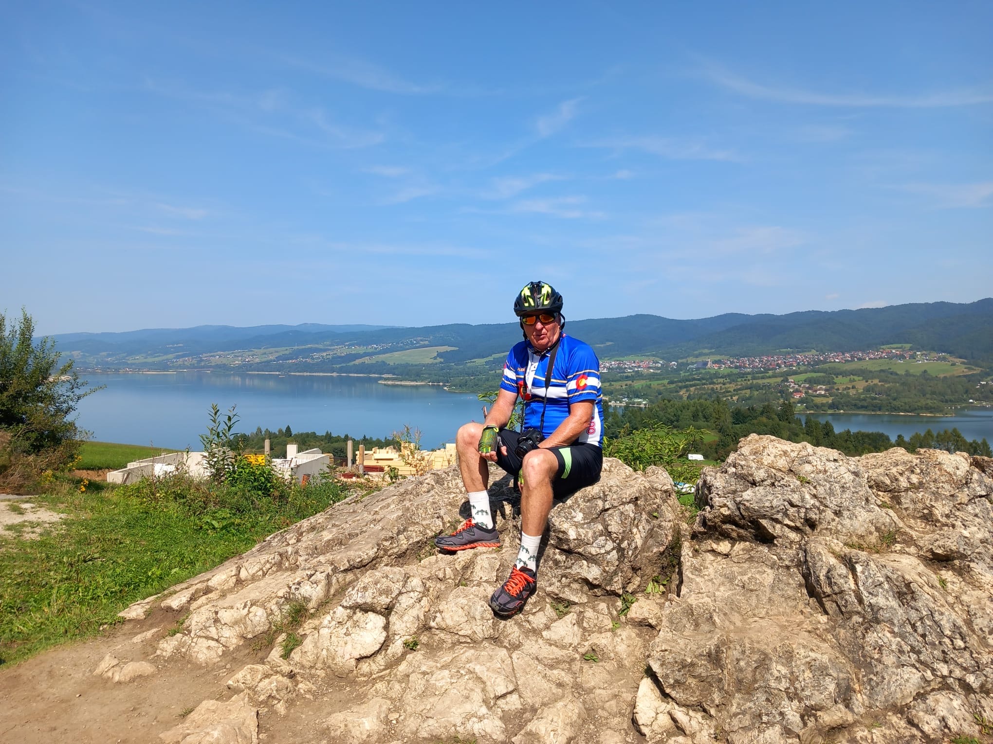
A cycling route starting in Krościenko nad Dunajcem, Lesser Poland Voivodeship, Poland.
Overview
About this route
- 3 h 8 min
- Duration
- 16.6 km
- Distance
- 408 m
- Ascent
- 407 m
- Descent
- 5.3 km/h
- Avg. speed
- 693 m
- Max. altitude
Route quality
Waytypes & surfaces along the route
Waytypes
Cycleway
6.3 km
(38 %)
Track
5.5 km
(33 %)
Surfaces
Paved
11.2 km
(67 %)
Unpaved
5.2 km
(31 %)
Concrete
6.3 km
(38 %)
Asphalt
4.8 km
(29 %)
Continue with Bikemap
Use, edit, or download this cycling route
You would like to ride Lechnica, Červený Kláštor až Lechnica, Červený Kláštor or customize it for your own trip? Here is what you can do with this Bikemap route:
Free features
- Save this route as favorite or in collections
- Copy & plan your own version of this route
- Sync your route with Garmin or Wahoo
Premium features
Free trial for 3 days, or one-time payment. More about Bikemap Premium.
- Navigate this route on iOS & Android
- Export a GPX / KML file of this route
- Create your custom printout (try it for free)
- Download this route for offline navigation
Discover more Premium features.
Get Bikemap PremiumFrom our community
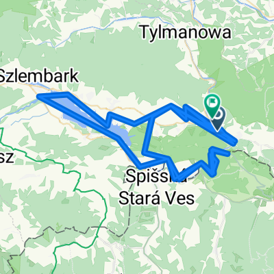
Other popular routes starting in Krościenko nad Dunajcem
 Lechnica, Červený Kláštor až Lechnica, Červený Kláštor
- Distance
- 16.6 km
- Ascent
- 408 m
- Descent
- 407 m
- Location
- Krościenko nad Dunajcem, Lesser Poland Voivodeship, Poland
 Červený Kláštor do Červený Kláštor
- Distance
- 48.1 km
- Ascent
- 978 m
- Descent
- 977 m
- Location
- Krościenko nad Dunajcem, Lesser Poland Voivodeship, Poland
 Dzień 3
- Distance
- 48.9 km
- Ascent
- 654 m
- Descent
- 651 m
- Location
- Krościenko nad Dunajcem, Lesser Poland Voivodeship, Poland
 Rajd Doliną Dunajca 2021 Fun
- Distance
- 78.9 km
- Ascent
- 1,210 m
- Descent
- 1,213 m
- Location
- Krościenko nad Dunajcem, Lesser Poland Voivodeship, Poland
 Route zu Sromowce Niżne
- Distance
- 38.7 km
- Ascent
- 1,033 m
- Descent
- 1,033 m
- Location
- Krościenko nad Dunajcem, Lesser Poland Voivodeship, Poland
 2010-08-25-Pieniny
- Distance
- 43.9 km
- Ascent
- 239 m
- Descent
- 237 m
- Location
- Krościenko nad Dunajcem, Lesser Poland Voivodeship, Poland
 Sromowce -Szczawnica -Przechyba -Szczawnica -Sromowce
- Distance
- 50.6 km
- Ascent
- 873 m
- Descent
- 875 m
- Location
- Krościenko nad Dunajcem, Lesser Poland Voivodeship, Poland
 Ulica świętej Kingi do Kozłeczyzna 2A
- Distance
- 161.7 km
- Ascent
- 3,765 m
- Descent
- 3,802 m
- Location
- Krościenko nad Dunajcem, Lesser Poland Voivodeship, Poland
Open it in the app