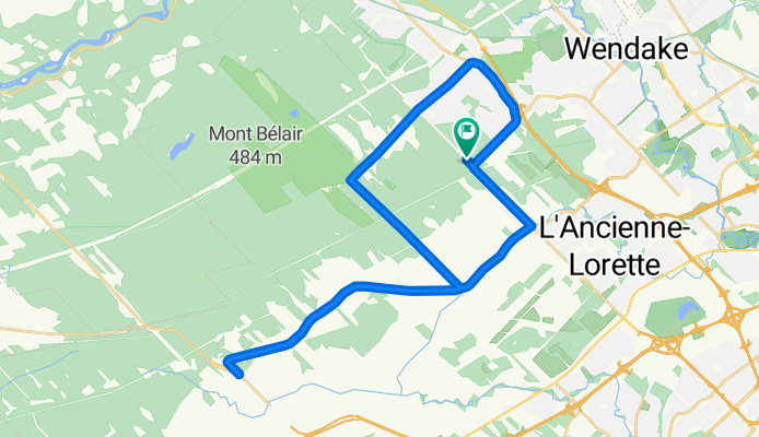
De Route de l'Aéroport à Route de l'Aéroport
- 22.2 km
- 227 m
- 207 m
- L'Ancienne-Lorette, Quebec, Canada


Road
15.2 km43 %Quiet road
1.8 km5 %Paved
20.9 km(59 %)Asphalt
20.2 km57 %Concrete
0.7 km2 %Undefined
14.5 km41 %Free trial for 3 days, or one-time payment. More about Bikemap Premium.
Discover more Premium features.
Get Bikemap PremiumOpen it in the app