16.01.2014 Uehlfeld Wanderung
- 11.5 km
- 117 m
- 118 m
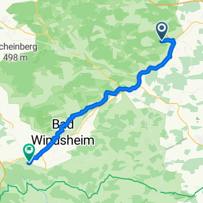
- Uehlfeld, Bavaria, Germany
A cycling route starting in Uehlfeld, Bavaria, Germany.
Overview
from Forchheim via Höchstadt to Demantsfürth on the bike path, then the above route, returning to Forchheim from the canal: a total of about 82 km
created this 13 years ago
Route quality
Quiet road
5.1 km
(25 %)
Track
4.5 km
(22 %)
Paved
14.7 km
(72 %)
Unpaved
2.2 km
(11 %)
Asphalt
14.7 km
(72 %)
Gravel
2 km
(10 %)
Continue with Bikemap
You would like to ride von Demantsfürth zum Kanal or customize it for your own trip? Here is what you can do with this Bikemap route:
Free trial for 3 days, or one-time payment. More about Bikemap Premium.
Discover more Premium features.
Get Bikemap PremiumFrom our community
Open it in the app