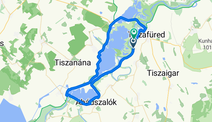

Keszeg utca, Tiszaderzs - Tiszafüred
- 15.5 km
- 28 m
- 13 m
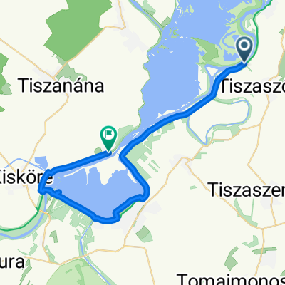
- Tiszaszőlős, Jász-Nagykun-Szolnok, Hungary
A cycling route starting in Tiszaszőlős, Jász-Nagykun-Szolnok, Hungary.
Overview
created this 4 months ago


Route quality
Access road
52 km
(82 %)
Cycleway
7 km
(11 %)
Paved
61.5 km
(97 %)
Asphalt
60.8 km
(96 %)
Concrete
0.6 km
(1 %)
Undefined
1.9 km
(3 %)
Continue with Bikemap
You would like to ride Tiszaszőlős - Mohári utca, Tiszafüred or customize it for your own trip? Here is what you can do with this Bikemap route:
Free trial for 3 days, or one-time payment. More about Bikemap Premium.
Discover more Premium features.
Get Bikemap PremiumFrom our community
Open it in the app