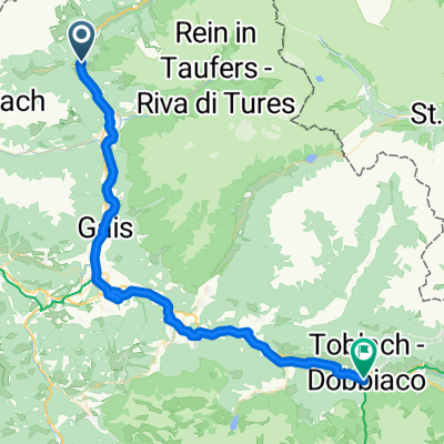
Riva di Tures - rif. Forcella di Valfredda / Vedrette de Ries
- 15.7 km
- 1,229 m
- 1,207 m
- Sand in Taufers, Trentino-Alto Adige, Italy
A cycling route starting in Sand in Taufers, Trentino-Alto Adige, Italy.
Overview
Type: Undefined Start time: 11:11 Aug 10, 2020 End time: 19:36 Aug 10, 2020 Distance: 15.7 km (08:24) Moving time: 06:17 Average speed: 1.87 km/h Speed while moving: 2.50 km/h Max speed: 6.19 km/h Minimum altitude: 1543 m Maximum altitude: 2763 m Climbing speed: 355.2 m/h Descending speed: 424.4 m/h Positive elevation gain: 1224 m Negative elevation loss: 1202 m Climbing time: 03:26 Descending time: 02:50
created this 4 months ago
Continue with Bikemap
You would like to ride Riva di Tures - rif. Forcella di Valfredda / Vedrette de Ries or customize it for your own trip? Here is what you can do with this Bikemap route:
Free trial for 3 days, or one-time payment. More about Bikemap Premium.
Discover more Premium features.
Get Bikemap PremiumFrom our community
Open it in the app