Rondje Sault--Apt, met enkele korte haalbare klimmetjes, 105 km
- 104.6 km
- 1,606 m
- 1,646 m
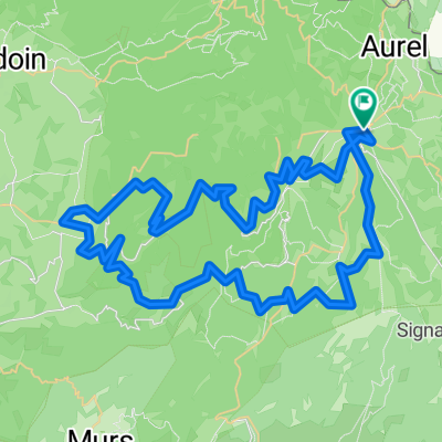
- Sault, Provence-Alpes-Côte d'Azur Region, France
A cycling route starting in Sault, Provence-Alpes-Côte d'Azur Region, France.
Overview
Route similar to 2 from Sault through Vallee de Toulourenc and then via Mollans-sur-Ouveze and Buis les Baronnies along a beautiful little road by the Ouveze up to the turnoff to Aulan. Here follows a nice long descent down to Montbrun-les-Bains. From here, unfortunately, there's another climb back up to Sault.
created this 16 years ago
Route quality
Road
10.4 km
(11 %)
Quiet road
7.5 km
(8 %)
Paved
57.5 km
(61 %)
Unpaved
0.9 km
(1 %)
Asphalt
57.5 km
(61 %)
Gravel
0.9 km
(1 %)
Undefined
35.8 km
(38 %)
Continue with Bikemap
You would like to ride Haute Provence vom Feinsten (Route 6) or customize it for your own trip? Here is what you can do with this Bikemap route:
Free trial for 3 days, or one-time payment. More about Bikemap Premium.
Discover more Premium features.
Get Bikemap PremiumFrom our community
Open it in the app