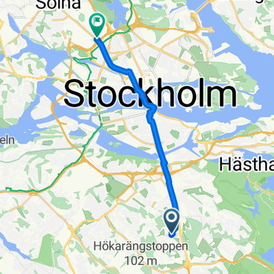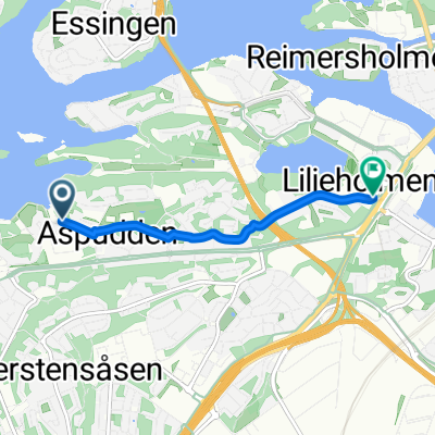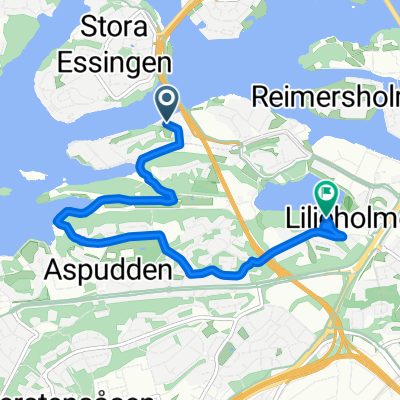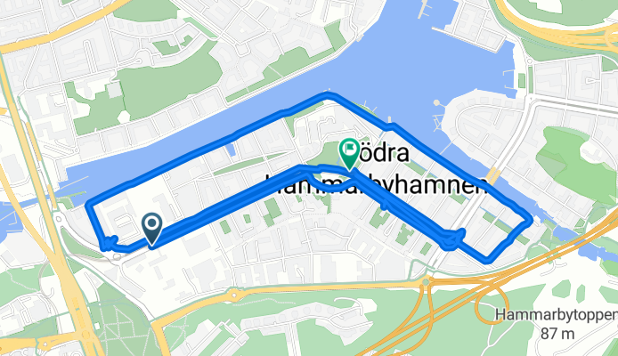

Hammarby allé, Stockholm to Lumaparksvägen, Stockholm
- 5.8 km
- 33 m
- 201 m
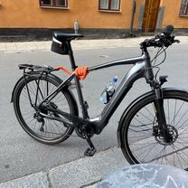
- Årsta, Stockholm County, Sweden
A cycling route starting in Årsta, Stockholm County, Sweden.
Overview
created this 4 months ago

Route quality
Road
2.7 km
(47 %)
Quiet road
1.3 km
(22 %)
Paved
4.9 km
(85 %)
Asphalt
4.5 km
(79 %)
Concrete
0.2 km
(4 %)
Continue with Bikemap
You would like to ride Hammarby allé, Stockholm to Lumaparksvägen, Stockholm or customize it for your own trip? Here is what you can do with this Bikemap route:
Free trial for 3 days, or one-time payment. More about Bikemap Premium.
Discover more Premium features.
Get Bikemap PremiumFrom our community
Open it in the app