
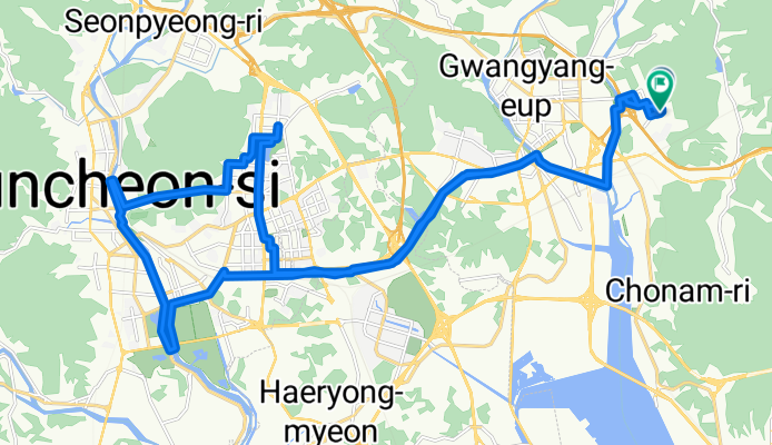
순천 동천 한바퀴
A cycling route starting in Kwangyang, Jeollanam-do, South Korea.
Overview
About this route
- 3 h 2 min
- Duration
- 39 km
- Distance
- 310 m
- Ascent
- 309 m
- Descent
- 12.9 km/h
- Avg. speed
- 83 m
- Max. altitude

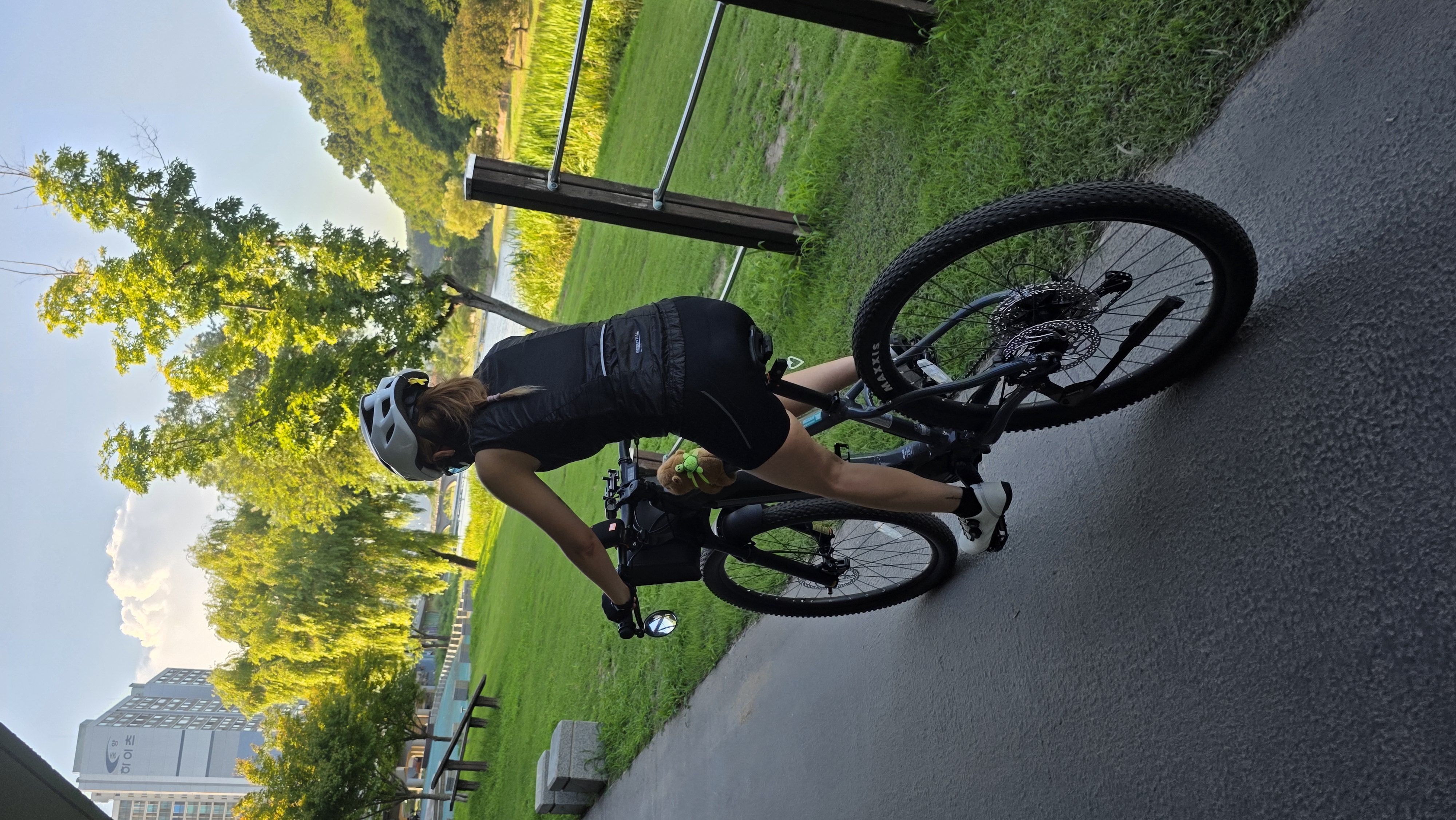
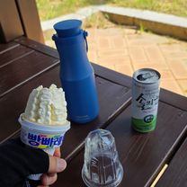
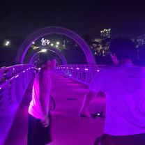
Route photos


Continue with Bikemap
Use, edit, or download this cycling route
You would like to ride 순천 동천 한바퀴 or customize it for your own trip? Here is what you can do with this Bikemap route:
Free features
- Save this route as favorite or in collections
- Copy & plan your own version of this route
- Sync your route with Garmin or Wahoo
Premium features
Free trial for 3 days, or one-time payment. More about Bikemap Premium.
- Navigate this route on iOS & Android
- Export a GPX / KML file of this route
- Create your custom printout (try it for free)
- Download this route for offline navigation
Discover more Premium features.
Get Bikemap PremiumFrom our community
Other popular routes starting in Kwangyang
 D#16??
- Distance
- 88.2 km
- Ascent
- 1,558 m
- Descent
- 1,532 m
- Location
- Kwangyang, Jeollanam-do, South Korea
 순천 동천 한바퀴
- Distance
- 39 km
- Ascent
- 310 m
- Descent
- 309 m
- Location
- Kwangyang, Jeollanam-do, South Korea
 집 - 우주카페
- Distance
- 40.1 km
- Ascent
- 198 m
- Descent
- 232 m
- Location
- Kwangyang, Jeollanam-do, South Korea
 Gwangyangeup Yonggangri - Gokseongeup
- Distance
- 58.8 km
- Ascent
- 752 m
- Descent
- 716 m
- Location
- Kwangyang, Jeollanam-do, South Korea
 광양읍 상사호
- Distance
- 57.6 km
- Ascent
- 603 m
- Descent
- 579 m
- Location
- Kwangyang, Jeollanam-do, South Korea
 gwangju-mokpo
- Distance
- 296.3 km
- Ascent
- 379 m
- Descent
- 384 m
- Location
- Kwangyang, Jeollanam-do, South Korea
 마동,제철,해양공원,황금 신연호,고넝빈
- Distance
- 20.3 km
- Ascent
- 94 m
- Descent
- 127 m
- Location
- Kwangyang, Jeollanam-do, South Korea
 광양읍-순천제일대-호수공원
- Distance
- 36 km
- Ascent
- 293 m
- Descent
- 329 m
- Location
- Kwangyang, Jeollanam-do, South Korea
Open it in the app