
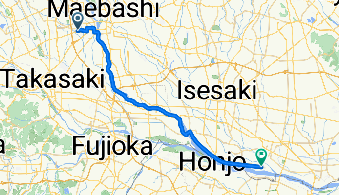
Route in Tokyo
A cycling route starting in Kanekomachi, Gunma, Japan.
Overview
About this route
- 1 h 43 min
- Duration
- 29.8 km
- Distance
- 18 m
- Ascent
- 96 m
- Descent
- 17.4 km/h
- Avg. speed
- 116 m
- Max. altitude

Route quality
Waytypes & surfaces along the route
Waytypes
Cycleway
26 km
(87 %)
Quiet road
3 km
(10 %)
Surfaces
Paved
7.5 km
(25 %)
Asphalt
7.5 km
(25 %)
Undefined
22.4 km
(75 %)
Continue with Bikemap
Use, edit, or download this cycling route
You would like to ride Route in Tokyo or customize it for your own trip? Here is what you can do with this Bikemap route:
Free features
- Save this route as favorite or in collections
- Copy & plan your own version of this route
- Sync your route with Garmin or Wahoo
Premium features
Free trial for 3 days, or one-time payment. More about Bikemap Premium.
- Navigate this route on iOS & Android
- Export a GPX / KML file of this route
- Create your custom printout (try it for free)
- Download this route for offline navigation
Discover more Premium features.
Get Bikemap PremiumFrom our community
Other popular routes starting in Kanekomachi
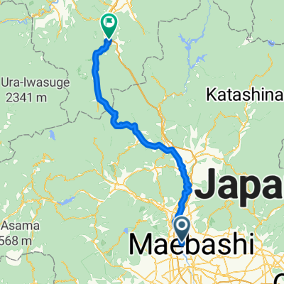
 メディフォンド榛名 2014(榛名山一周コース/主に県道)
- Distance
- 79.4 km
- Ascent
- 1,731 m
- Descent
- 1,733 m
- Location
- Kanekomachi, Gunma, Japan
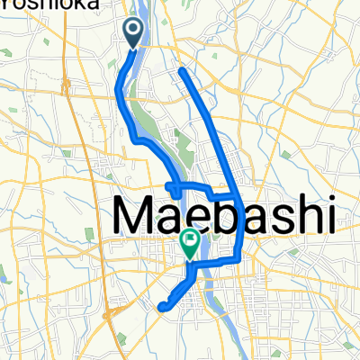 漆原, 吉岡町 a 石倉町 4-Chōme, 前橋市
- Distance
- 23.3 km
- Ascent
- 185 m
- Descent
- 201 m
- Location
- Kanekomachi, Gunma, Japan
 D14 to Nagaoka
- Distance
- 158.7 km
- Ascent
- 1,338 m
- Descent
- 1,444 m
- Location
- Kanekomachi, Gunma, Japan
 Kanekomachi - Shiozawa
- Distance
- 83.4 km
- Ascent
- 2,334 m
- Descent
- 2,100 m
- Location
- Kanekomachi, Gunma, Japan
 210804 ぐるっと榛名山
- Distance
- 83.8 km
- Ascent
- 1,075 m
- Descent
- 1,078 m
- Location
- Kanekomachi, Gunma, Japan
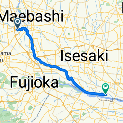 Route in Tokyo
- Distance
- 29.8 km
- Ascent
- 18 m
- Descent
- 96 m
- Location
- Kanekomachi, Gunma, Japan
Open it in the app