
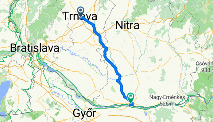
Overview
About this route
- 6 h 30 min
- Duration
- 99.5 km
- Distance
- 128 m
- Ascent
- 159 m
- Descent
- 15.3 km/h
- Avg. speed
- 156 m
- Max. altitude
Part of
Trentschin - Hirtenberg
5 stages
Route quality
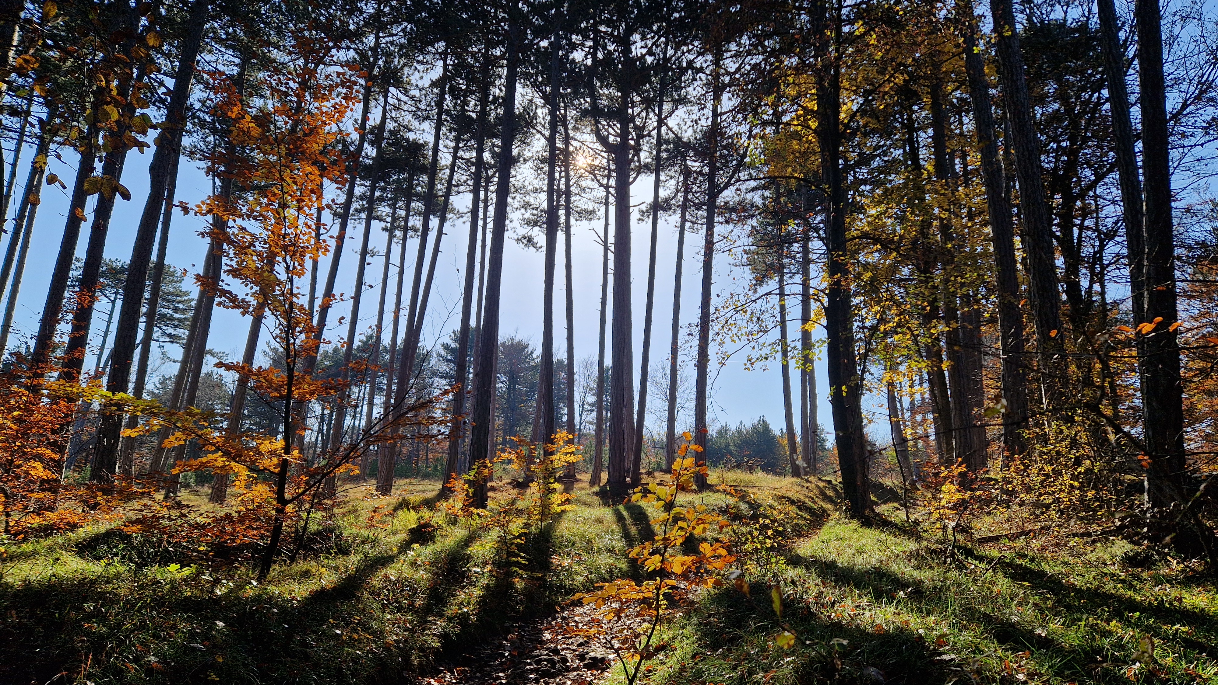
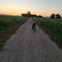
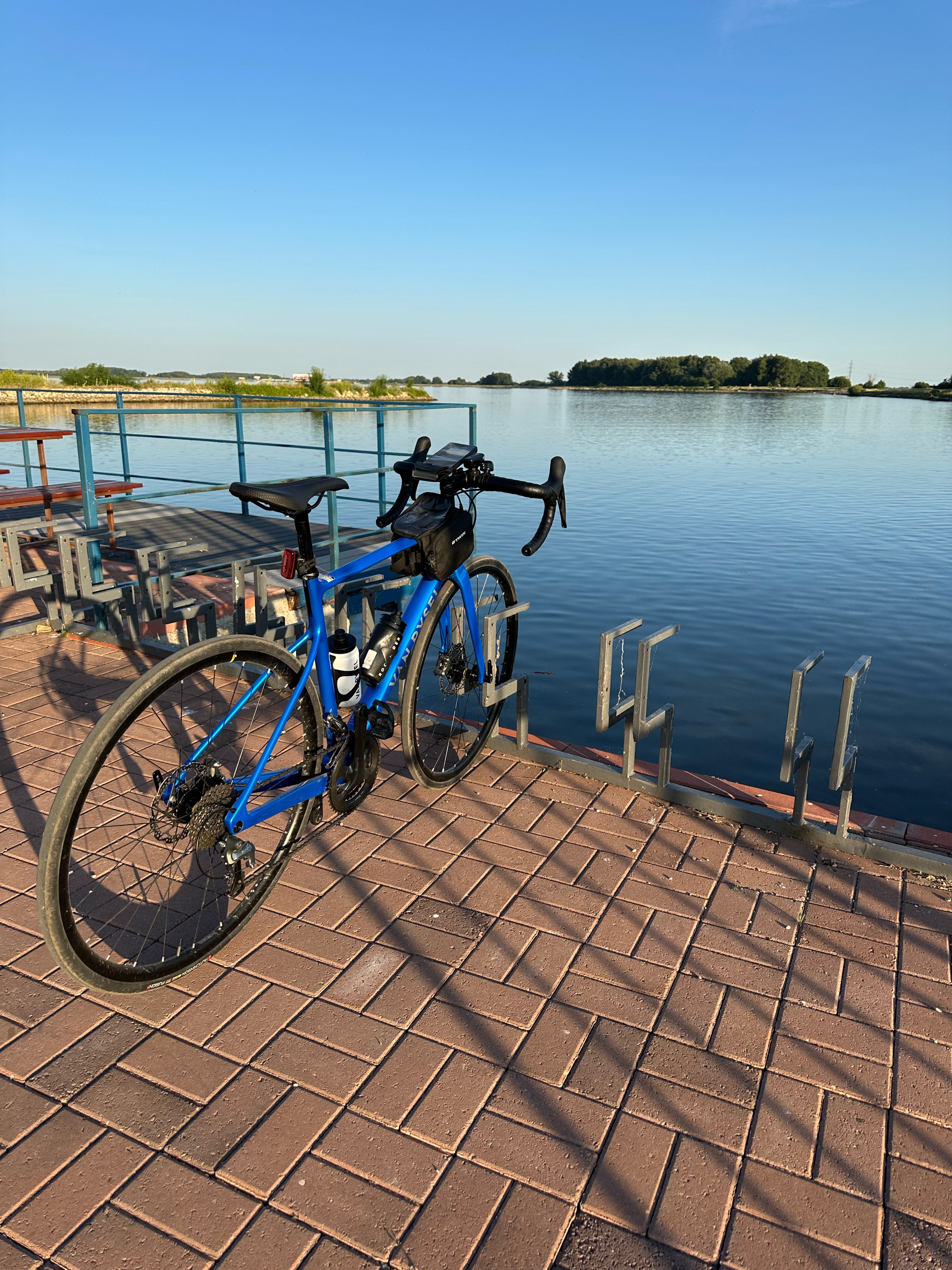
Waytypes & surfaces along the route
Waytypes
Cycleway
44.8 km
(45 %)
Road
17.9 km
(18 %)
Surfaces
Paved
68.7 km
(69 %)
Unpaved
6 km
(6 %)
Asphalt
65.7 km
(66 %)
Ground
4 km
(4 %)
Continue with Bikemap
Use, edit, or download this cycling route
You would like to ride Tyrnau - Komárom or customize it for your own trip? Here is what you can do with this Bikemap route:
Free features
- Save this route as favorite or in collections
- Copy & plan your own version of this route
- Split it into stages to create a multi-day tour
- Sync your route with Garmin or Wahoo
Premium features
Free trial for 3 days, or one-time payment. More about Bikemap Premium.
- Navigate this route on iOS & Android
- Export a GPX / KML file of this route
- Create your custom printout (try it for free)
- Download this route for offline navigation
Discover more Premium features.
Get Bikemap PremiumFrom our community
Other popular routes starting in Trnava
 Trnavsko-nitriansky okruh
- Distance
- 120.5 km
- Ascent
- 289 m
- Descent
- 274 m
- Location
- Trnava, Trnava Region, Slovakia
 Opojský malý okruh
- Distance
- 19.3 km
- Ascent
- 41 m
- Descent
- 40 m
- Location
- Trnava, Trnava Region, Slovakia
 Trnava - Zavar - Šúrovce - Siladice
- Distance
- 37.6 km
- Ascent
- 61 m
- Descent
- 60 m
- Location
- Trnava, Trnava Region, Slovakia
 Trnava - Bradlo - Jablonica
- Distance
- 63.4 km
- Ascent
- 828 m
- Descent
- 759 m
- Location
- Trnava, Trnava Region, Slovakia
 Trnavská do M. R. Štefánika
- Distance
- 11.5 km
- Ascent
- 15 m
- Descent
- 60 m
- Location
- Trnava, Trnava Region, Slovakia
 Biely Kostal
- Distance
- 11.3 km
- Ascent
- 20 m
- Descent
- 17 m
- Location
- Trnava, Trnava Region, Slovakia
 Školská, Šúrovce až Školská, Šúrovce
- Distance
- 58.2 km
- Ascent
- 279 m
- Descent
- 279 m
- Location
- Trnava, Trnava Region, Slovakia
 M. R. Štefánika do M. R. Štefánika
- Distance
- 10 km
- Ascent
- 18 m
- Descent
- 65 m
- Location
- Trnava, Trnava Region, Slovakia
Open it in the app