
2025-08-14
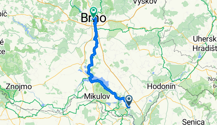
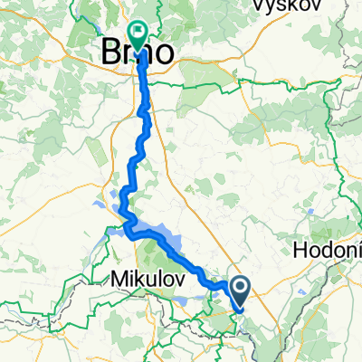
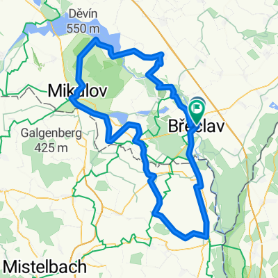
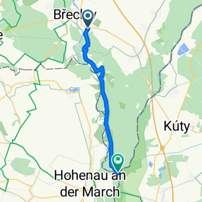
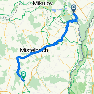
A cycling route starting in Břeclav, South Moravian, Czechia.
Overview
About this route
- 4 h 39 min
- Duration
- 78.9 km
- Distance
- 437 m
- Ascent
- 368 m
- Descent
- 17 km/h
- Avg. speed
- 231 m
- Max. altitude
Route quality
Waytypes & surfaces along the route
Waytypes
Cycleway
24.5 km
(31 %)
Track
23.7 km
(30 %)
Surfaces
Paved
69.5 km
(88 %)
Unpaved
6.3 km
(8 %)
Asphalt
69.5 km
(88 %)
Gravel
4.7 km
(6 %)
Continue with Bikemap
Use, edit, or download this cycling route
You would like to ride 2025-08-14 or customize it for your own trip? Here is what you can do with this Bikemap route:
Free features
- Save this route as favorite or in collections
- Copy & plan your own version of this route
- Sync your route with Garmin or Wahoo
Premium features
Free trial for 3 days, or one-time payment. More about Bikemap Premium.
- Navigate this route on iOS & Android
- Export a GPX / KML file of this route
- Create your custom printout (try it for free)
- Download this route for offline navigation
Discover more Premium features.
Get Bikemap PremiumFrom our community
Other popular routes starting in Břeclav
 2025-08-14
- Distance
- 78.9 km
- Ascent
- 437 m
- Descent
- 368 m
- Location
- Břeclav, South Moravian, Czechia
 Breclav a okoli 104km_705hm
- Distance
- 104.4 km
- Ascent
- 704 m
- Descent
- 705 m
- Location
- Břeclav, South Moravian, Czechia
 Pod Zámkem 1, Břeclav to Pod Zámkem 1, Břeclav
- Distance
- 25.2 km
- Ascent
- 224 m
- Descent
- 227 m
- Location
- Břeclav, South Moravian, Czechia
 Soutok
- Distance
- 17.8 km
- Ascent
- 84 m
- Descent
- 84 m
- Location
- Břeclav, South Moravian, Czechia
 Pod Zámkem 2881/5 do Landstraße
- Distance
- 77.7 km
- Ascent
- 575 m
- Descent
- 540 m
- Location
- Břeclav, South Moravian, Czechia
 Pálava 2013 2. etapa Břeclav - Lednice - Valtice - Sedlec - Rakvice
- Distance
- 50.5 km
- Ascent
- 277 m
- Descent
- 274 m
- Location
- Břeclav, South Moravian, Czechia
 Otvírání stezek 2015
- Distance
- 47.9 km
- Ascent
- 251 m
- Descent
- 256 m
- Location
- Břeclav, South Moravian, Czechia
 Lednicko-valtický areál 2017
- Distance
- 52.7 km
- Ascent
- 197 m
- Descent
- 196 m
- Location
- Břeclav, South Moravian, Czechia
Open it in the app