170 km durch PLĂ– und OH
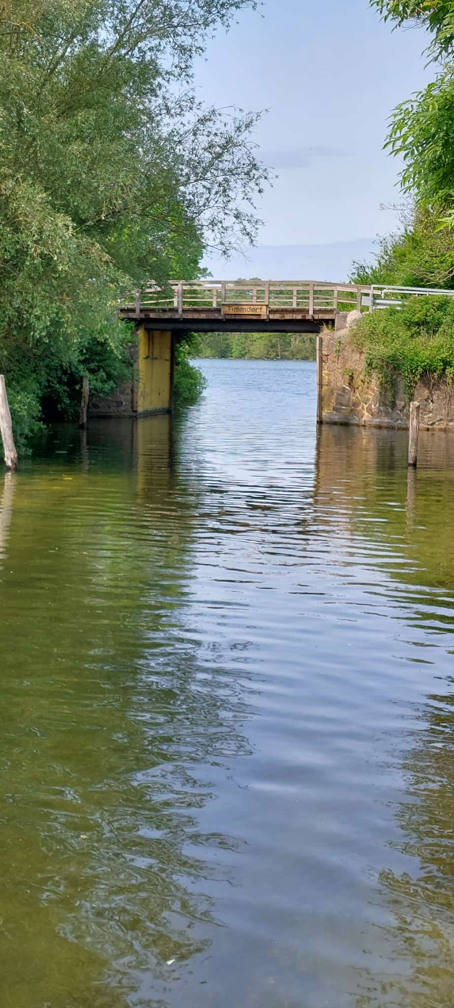
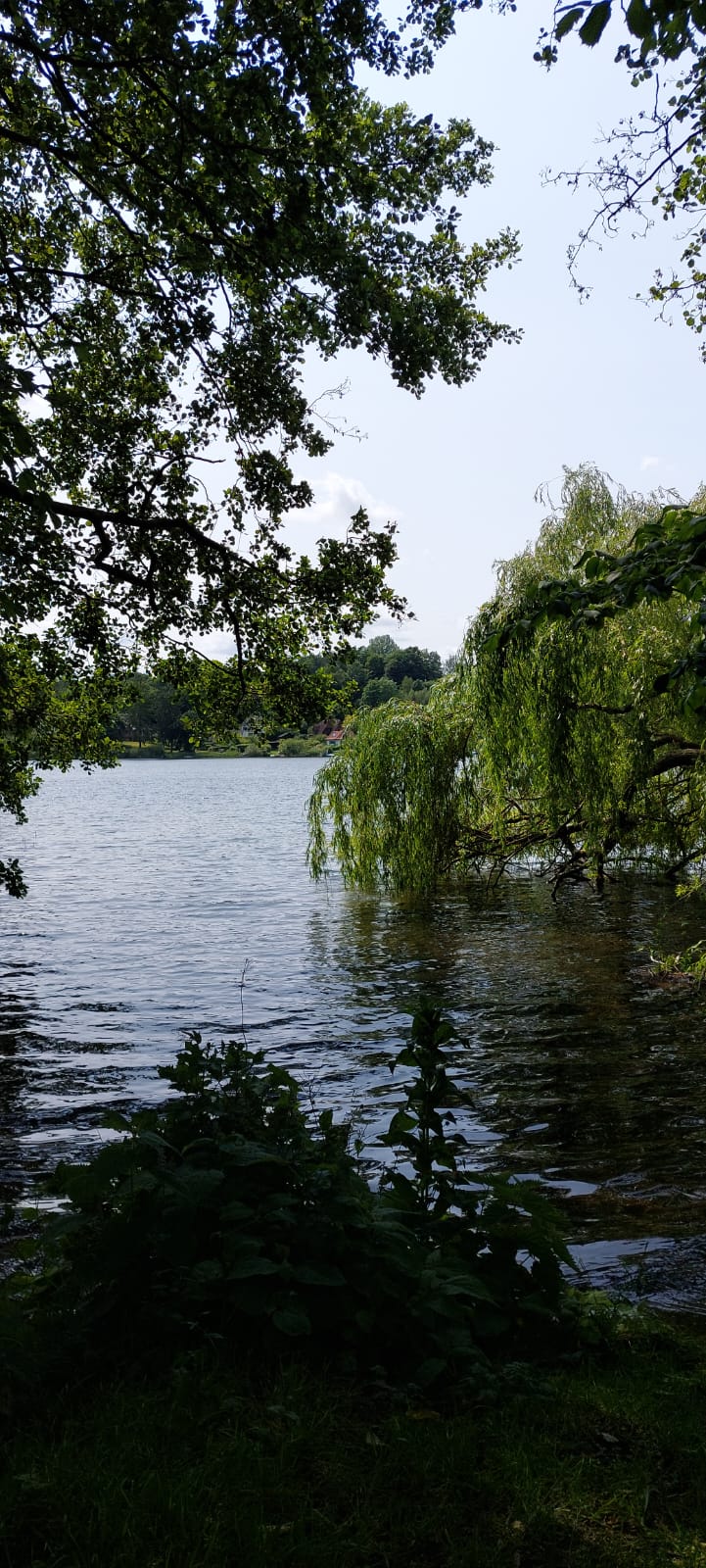
A cycling route starting in Bosau, Schleswig-Holstein, Germany.
Overview
About this route
<p>
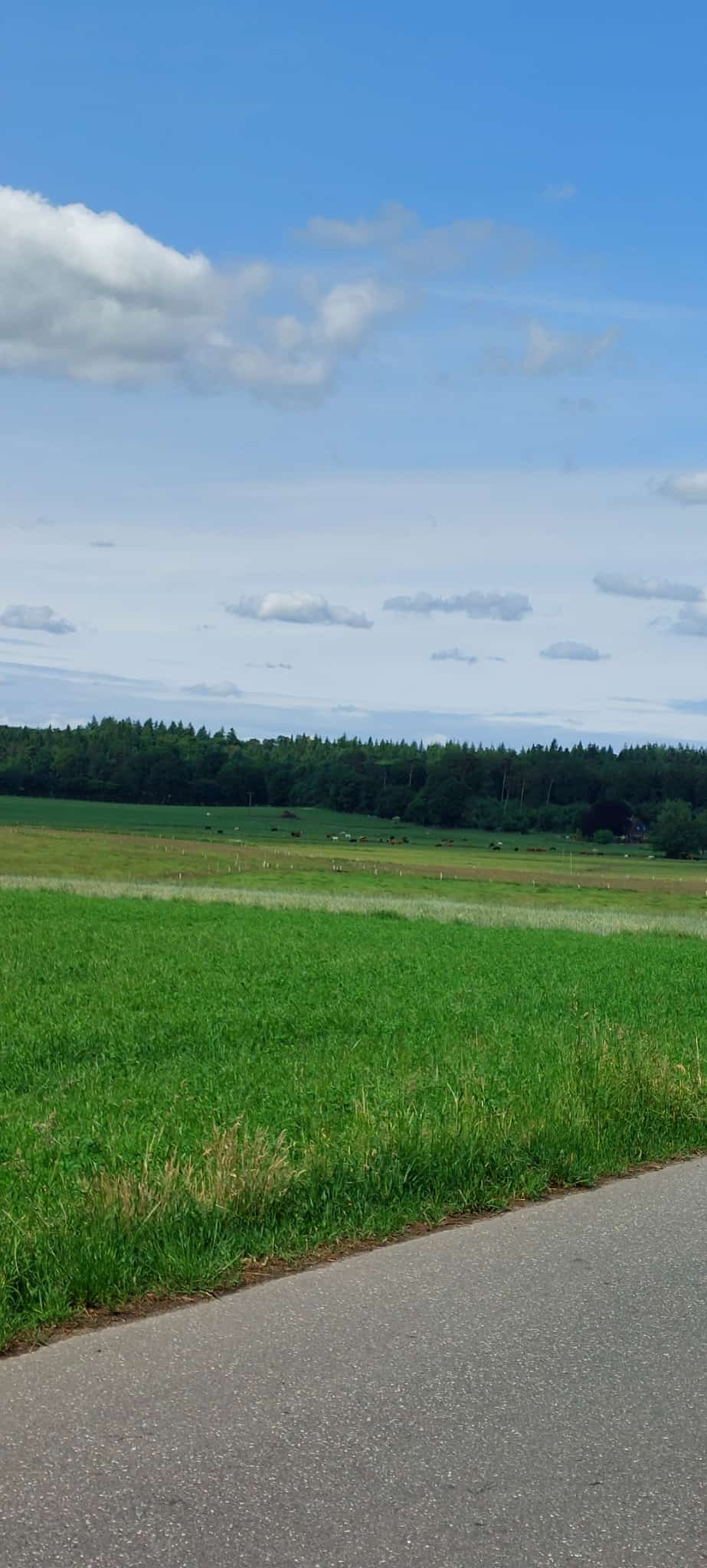
It is a beautiful cycling tour in the north that is made more challenging by the wind. This tour aims to show that you can also accumulate significant elevation in Schleswig-Holstein and is mostly guided on lovely narrow roads through the fields.</p>
<p>A section between Fresendorf and Darry goes through a forest with a longer incline on a paved path. However, it is very rideable with a road bike.</p>
Translated, show original (German)- -:--
- Duration
- 169.9 km
- Distance
- 847 m
- Ascent
- 834 m
- Descent
- ---
- Avg. speed
- 99 m
- Max. altitude
Route quality
Waytypes & surfaces along the route
Waytypes
Road
59.5 km
(35 %)
Quiet road
40.8 km
(24 %)
Surfaces
Paved
127.4 km
(75 %)
Unpaved
1.7 km
(1 %)
Asphalt
113.8 km
(67 %)
Paved (undefined)
10.2 km
(6 %)
Continue with Bikemap
Use, edit, or download this cycling route
You would like to ride 170 km durch PLĂ– und OH or customize it for your own trip? Here is what you can do with this Bikemap route:
Free features
- Save this route as favorite or in collections
- Copy & plan your own version of this route
- Split it into stages to create a multi-day tour
- Sync your route with Garmin or Wahoo
Premium features
Free trial for 3 days, or one-time payment. More about Bikemap Premium.
- Navigate this route on iOS & Android
- Export a GPX / KML file of this route
- Create your custom printout (try it for free)
- Download this route for offline navigation
Discover more Premium features.
Get Bikemap PremiumFrom our community
Other popular routes starting in Bosau
- Holsteinische Schweiz Tour
- Distance
- 60.1 km
- Ascent
- 151 m
- Descent
- 152 m
- Location
- Bosau, Schleswig-Holstein, Germany
- 170 km durch PLĂ– und OH
- Distance
- 169.9 km
- Ascent
- 847 m
- Descent
- 834 m
- Location
- Bosau, Schleswig-Holstein, Germany
- plöner seerund
- Distance
- 36.9 km
- Ascent
- 193 m
- Descent
- 193 m
- Location
- Bosau, Schleswig-Holstein, Germany
- Plönersee Umrundung CLONED FROM ROUTE 598743
- Distance
- 39.2 km
- Ascent
- 181 m
- Descent
- 181 m
- Location
- Bosau, Schleswig-Holstein, Germany
- Gerold Damm nach Plöner Straße
- Distance
- 41.5 km
- Ascent
- 220 m
- Descent
- 259 m
- Location
- Bosau, Schleswig-Holstein, Germany
- Hof Augstfelde, Bösdorf nach Augstfelder Weg 1, Bösdorf
- Distance
- 10.3 km
- Ascent
- 68 m
- Descent
- 65 m
- Location
- Bosau, Schleswig-Holstein, Germany
- 2010-07-18 Plönersee Umrundung
- Distance
- 38.3 km
- Ascent
- 161 m
- Descent
- 161 m
- Location
- Bosau, Schleswig-Holstein, Germany
- 50 KM Bosau-Timmdorf-Malente-Eutin-Bosau
- Distance
- 45.3 km
- Ascent
- 221 m
- Descent
- 220 m
- Location
- Bosau, Schleswig-Holstein, Germany
Open it in the app