
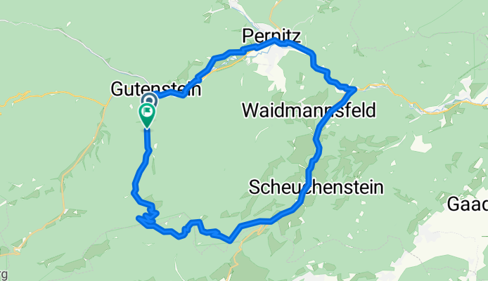
GT Öhler Schutzhaus
A cycling route starting in Gutenstein, Lower Austria, Austria.
Overview
About this route
- 2 h 47 min
- Duration
- 36.7 km
- Distance
- 1,139 m
- Ascent
- 1,139 m
- Descent
- 13.2 km/h
- Avg. speed
- 1,060 m
- Max. altitude
Route quality
Waytypes & surfaces along the route
Waytypes
Quiet road
14.3 km
(39 %)
Track
7.7 km
(21 %)
Surfaces
Paved
18.3 km
(50 %)
Unpaved
7 km
(19 %)
Asphalt
18.3 km
(50 %)
Gravel
5.1 km
(14 %)
Continue with Bikemap
Use, edit, or download this cycling route
You would like to ride GT Öhler Schutzhaus or customize it for your own trip? Here is what you can do with this Bikemap route:
Free features
- Save this route as favorite or in collections
- Copy & plan your own version of this route
- Sync your route with Garmin or Wahoo
Premium features
Free trial for 3 days, or one-time payment. More about Bikemap Premium.
- Navigate this route on iOS & Android
- Export a GPX / KML file of this route
- Create your custom printout (try it for free)
- Download this route for offline navigation
Discover more Premium features.
Get Bikemap PremiumFrom our community
Other popular routes starting in Gutenstein
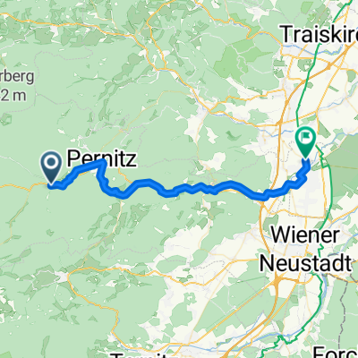 From Sollenau to Gutenstein
- Distance
- 39.3 km
- Ascent
- 576 m
- Descent
- 787 m
- Location
- Gutenstein, Lower Austria, Austria
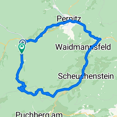 GT Öhler Schutzhaus
- Distance
- 36.7 km
- Ascent
- 1,139 m
- Descent
- 1,139 m
- Location
- Gutenstein, Lower Austria, Austria
 Gutensteiner Straße 19 to Bahnhofplatz 2
- Distance
- 40 km
- Ascent
- 1,504 m
- Descent
- 1,501 m
- Location
- Gutenstein, Lower Austria, Austria
 Gutenstein-Laxenburg-Wienerberg-Längenfeld-Thalia
- Distance
- 76.5 km
- Ascent
- 137 m
- Descent
- 392 m
- Location
- Gutenstein, Lower Austria, Austria
 GTS BadVöslau Hans
- Distance
- 42.1 km
- Ascent
- 462 m
- Descent
- 775 m
- Location
- Gutenstein, Lower Austria, Austria
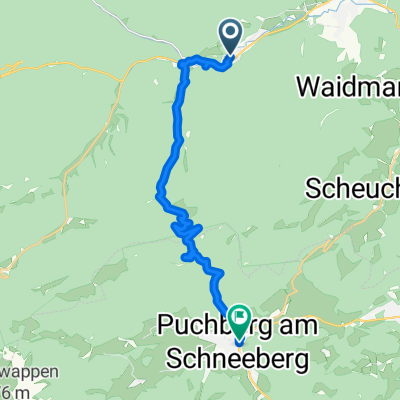 From Gutenstein to Puchberg am Schneeberg
- Distance
- 18 km
- Ascent
- 849 m
- Descent
- 740 m
- Location
- Gutenstein, Lower Austria, Austria
 Gutenstein Bahnhof - Felixdorf Bahnhof
- Distance
- 32.3 km
- Ascent
- 403 m
- Descent
- 593 m
- Location
- Gutenstein, Lower Austria, Austria
 Gutensteiner Runde
- Distance
- 36.2 km
- Ascent
- 88 m
- Descent
- 282 m
- Location
- Gutenstein, Lower Austria, Austria
Open it in the app