Tendon à D 11, Tendon
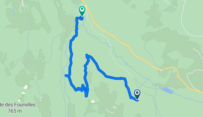
A cycling route starting in Le Tholy, Grand Est, France.
Overview
About this route
- 1 h 20 min
- Duration
- 4.7 km
- Distance
- 150 m
- Ascent
- 303 m
- Descent
- 3.5 km/h
- Avg. speed
- 699 m
- Max. altitude
Route photos
Route quality
Waytypes & surfaces along the route
Waytypes
Track
4.1 km
(87 %)
Pedestrian area
0.5 km
(11 %)
Surfaces
Unpaved
4.1 km
(87 %)
Ground
2.8 km
(59 %)
Unpaved (undefined)
1.3 km
(28 %)
Undefined
0.6 km
(13 %)
Continue with Bikemap
Use, edit, or download this cycling route
You would like to ride Tendon à D 11, Tendon or customize it for your own trip? Here is what you can do with this Bikemap route:
Free features
- Save this route as favorite or in collections
- Copy & plan your own version of this route
- Sync your route with Garmin or Wahoo
Premium features
Free trial for 3 days, or one-time payment. More about Bikemap Premium.
- Navigate this route on iOS & Android
- Export a GPX / KML file of this route
- Create your custom printout (try it for free)
- Download this route for offline navigation
Discover more Premium features.
Get Bikemap PremiumFrom our community
Other popular routes starting in Le Tholy
- Etape tour de la Mirabelle 2019
- Distance
- 74.6 km
- Ascent
- 1,589 m
- Descent
- 1,498 m
- Location
- Le Tholy, Grand Est, France
- Tendon à D 11, Tendon
- Distance
- 4.7 km
- Ascent
- 150 m
- Descent
- 303 m
- Location
- Le Tholy, Grand Est, France
- rondje Le Tholy 75 km
- Distance
- 75.1 km
- Ascent
- 932 m
- Descent
- 932 m
- Location
- Le Tholy, Grand Est, France
- Rondje Col de la Schlucht 83 km
- Distance
- 83.5 km
- Ascent
- 1,498 m
- Descent
- 1,498 m
- Location
- Le Tholy, Grand Est, France
- Rondje Haute-Saône Alternatief
- Distance
- 101 km
- Ascent
- 1,173 m
- Descent
- 1,171 m
- Location
- Le Tholy, Grand Est, France
- Vier cols route
- Distance
- 61.1 km
- Ascent
- 1,543 m
- Descent
- 1,543 m
- Location
- Le Tholy, Grand Est, France
- Le Hohneck
- Distance
- 60.2 km
- Ascent
- 1,125 m
- Descent
- 1,120 m
- Location
- Le Tholy, Grand Est, France
- Naar het westen (smalle wegen!)
- Distance
- 61.4 km
- Ascent
- 1,151 m
- Descent
- 1,147 m
- Location
- Le Tholy, Grand Est, France
Open it in the app