
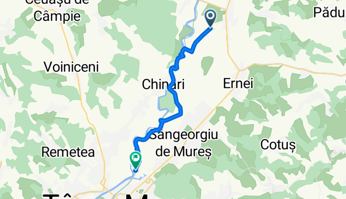
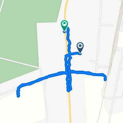
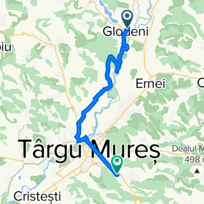
Moderate route
A cycling route starting in Glodeni, Mureș County, Romania.
Overview
About this route
- 2 h 9 min
- Duration
- 12.7 km
- Distance
- 29 m
- Ascent
- 89 m
- Descent
- 5.9 km/h
- Avg. speed
- 370 m
- Max. altitude

Continue with Bikemap
Use, edit, or download this cycling route
You would like to ride Moderate route or customize it for your own trip? Here is what you can do with this Bikemap route:
Free features
- Save this route as favorite or in collections
- Copy & plan your own version of this route
- Sync your route with Garmin or Wahoo
Premium features
Free trial for 3 days, or one-time payment. More about Bikemap Premium.
- Navigate this route on iOS & Android
- Export a GPX / KML file of this route
- Create your custom printout (try it for free)
- Download this route for offline navigation
Discover more Premium features.
Get Bikemap PremiumFrom our community
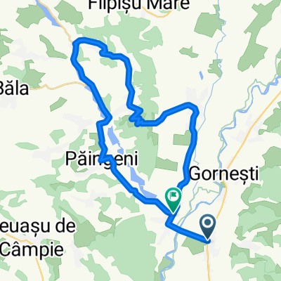
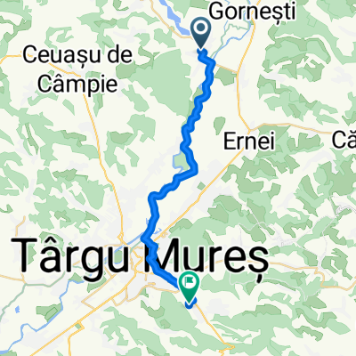
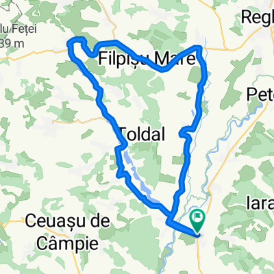
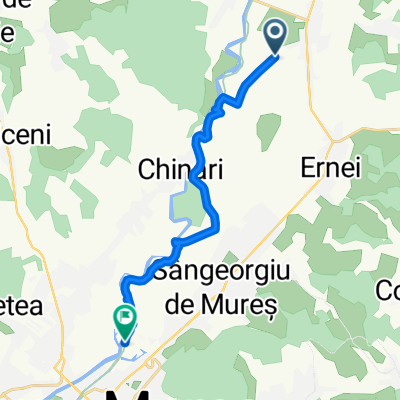
Other popular routes starting in Glodeni
 seta duduval
- Distance
- 33.3 km
- Ascent
- 285 m
- Descent
- 290 m
- Location
- Glodeni, Mureș County, Romania
 sarpatak-sapi
- Distance
- 20.7 km
- Ascent
- 89 m
- Descent
- 68 m
- Location
- Glodeni, Mureș County, Romania
 a naaagy ut
- Distance
- 48.1 km
- Ascent
- 200 m
- Descent
- 200 m
- Location
- Glodeni, Mureș County, Romania
 tavak
tavak- Distance
- 46.1 km
- Ascent
- 190 m
- Descent
- 189 m
- Location
- Glodeni, Mureș County, Romania
 Strada Gării - DN15
- Distance
- 2.8 km
- Ascent
- 59 m
- Descent
- 153 m
- Location
- Glodeni, Mureș County, Romania
 Dumbravioara - deal Voivodeni - Onuca
- Distance
- 17.1 km
- Ascent
- 333 m
- Descent
- 260 m
- Location
- Glodeni, Mureș County, Romania
 Moderate route
- Distance
- 12.7 km
- Ascent
- 29 m
- Descent
- 89 m
- Location
- Glodeni, Mureș County, Romania
 DJ154J 154, Glodeni - DN13 1c, Târgu Mureș
- Distance
- 24.8 km
- Ascent
- 131 m
- Descent
- 111 m
- Location
- Glodeni, Mureș County, Romania
Open it in the app