
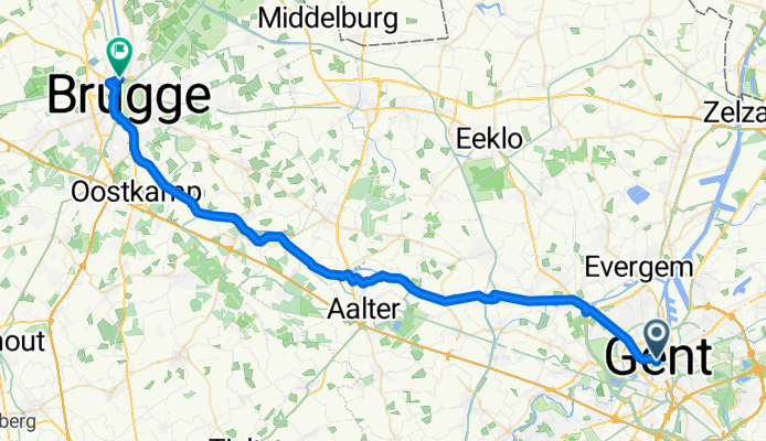
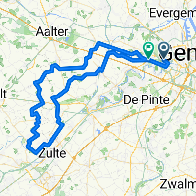
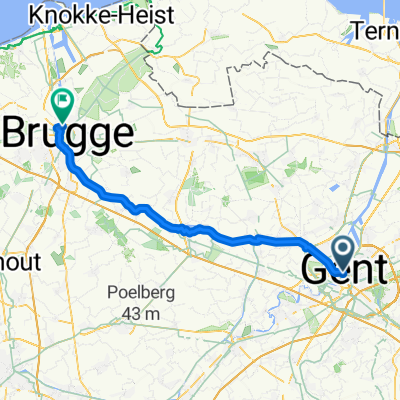
Gent nr Brugge 50km
A cycling route starting in Ghent, Flemish Region, Belgium.
Overview
About this route
- 2 h 46 min
- Duration
- 48.5 km
- Distance
- 43 m
- Ascent
- 56 m
- Descent
- 17.5 km/h
- Avg. speed
- 16 m
- Max. altitude
Route quality
Waytypes & surfaces along the route
Waytypes
Quiet road
25.7 km
(53 %)
Cycleway
14.6 km
(30 %)
Surfaces
Paved
43.2 km
(89 %)
Asphalt
37.4 km
(77 %)
Concrete
5.8 km
(12 %)
Undefined
5.3 km
(11 %)
Continue with Bikemap
Use, edit, or download this cycling route
You would like to ride Gent nr Brugge 50km or customize it for your own trip? Here is what you can do with this Bikemap route:
Free features
- Save this route as favorite or in collections
- Copy & plan your own version of this route
- Sync your route with Garmin or Wahoo
Premium features
Free trial for 3 days, or one-time payment. More about Bikemap Premium.
- Navigate this route on iOS & Android
- Export a GPX / KML file of this route
- Create your custom printout (try it for free)
- Download this route for offline navigation
Discover more Premium features.
Get Bikemap PremiumFrom our community
Other popular routes starting in Ghent
 Campsite to Ghent
- Distance
- 5.6 km
- Ascent
- 21 m
- Descent
- 13 m
- Location
- Ghent, Flemish Region, Belgium
 Jan-Baptist Guinardstraat, Ghent to Jan-Baptist Guinardstraat, Ghent
- Distance
- 11 km
- Ascent
- 57 m
- Descent
- 60 m
- Location
- Ghent, Flemish Region, Belgium
 Beernem - Zwijndrecht
- Distance
- 49.1 km
- Ascent
- 49 m
- Descent
- 54 m
- Location
- Ghent, Flemish Region, Belgium
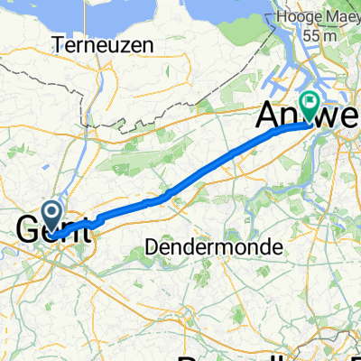
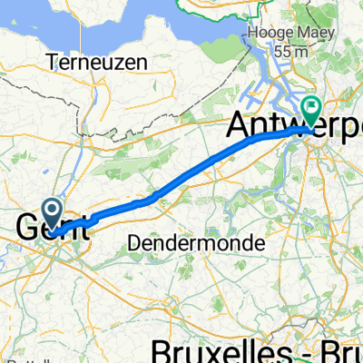 Sat 8.30 Gent to Antwerpen
- Distance
- 55.5 km
- Ascent
- 58 m
- Descent
- 57 m
- Location
- Ghent, Flemish Region, Belgium
 Mandelvijver
- Distance
- 76.8 km
- Ascent
- 91 m
- Descent
- 92 m
- Location
- Ghent, Flemish Region, Belgium
 Gent nr Brugge 50km
- Distance
- 48.5 km
- Ascent
- 43 m
- Descent
- 56 m
- Location
- Ghent, Flemish Region, Belgium
 from Ghent to Oudenaarde from Watermolenstraat
- Distance
- 51.5 km
- Ascent
- 291 m
- Descent
- 295 m
- Location
- Ghent, Flemish Region, Belgium
 Kouter, Gand à Sint-Annatunnel, Anvers
- Distance
- 58.8 km
- Ascent
- 72 m
- Descent
- 78 m
- Location
- Ghent, Flemish Region, Belgium
Open it in the app