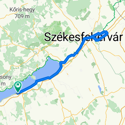
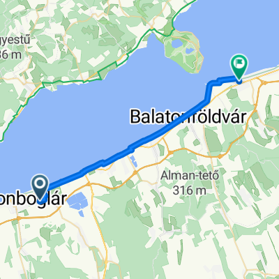
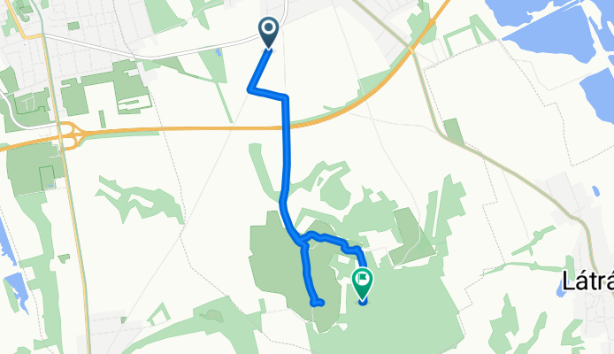
R贸mai 煤t, Balatonlelle - Balatonlelle
A cycling route starting in Balatonlelle, Somogy County, Hungary.
Overview
About this route
- 38 min
- Duration
- 6.4 km
- Distance
- 216 m
- Ascent
- 79 m
- Descent
- 10 km/h
- Avg. speed
- 271 m
- Max. altitude
Route photos
Continue with Bikemap
Use, edit, or download this cycling route
You would like to ride R贸mai 煤t, Balatonlelle - Balatonlelle or customize it for your own trip? Here is what you can do with this Bikemap route:
Free features
- Save this route as favorite or in collections
- Copy & plan your own version of this route
- Sync your route with Garmin or Wahoo
Premium features
Free trial for 3 days, or one-time payment. More about Bikemap Premium.
- Navigate this route on iOS & Android
- Export a GPX / KML file of this route
- Create your custom printout (try it for free)
- Download this route for offline navigation
Discover more Premium features.
Get Bikemap PremiumFrom our community
Other popular routes starting in Balatonlelle
- Balaton sredina 2x trajekt
- Distance
- 87.1 km
- Ascent
- 134 m
- Descent
- 134 m
- Location
- Balatonlelle, Somogy County, Hungary
- Fogas utca 4., Balatonlelle to Fogas utca 4., Balatonlelle
- Distance
- 205.3 km
- Ascent
- 1,012 m
- Descent
- 1,012 m
- Location
- Balatonlelle, Somogy County, Hungary
- M贸l贸 s茅t谩ny 3., Balatonlelle to V谩s谩r t茅r 12., Keszthely
- Distance
- 48.4 km
- Ascent
- 152 m
- Descent
- 140 m
- Location
- Balatonlelle, Somogy County, Hungary
- somogyi dombok
- Distance
- 74.7 km
- Ascent
- 368 m
- Descent
- 365 m
- Location
- Balatonlelle, Somogy County, Hungary
- D茅l-Balaton 1 napos (P贸cz)
- Distance
- 48.4 km
- Ascent
- 183 m
- Descent
- 178 m
- Location
- Balatonlelle, Somogy County, Hungary
- Balaton k枚rbetekeres
- Distance
- 209.2 km
- Ascent
- 392 m
- Descent
- 396 m
- Location
- Balatonlelle, Somogy County, Hungary
- PBN Csapat茅p铆t艖 Teker艖 2. nap
- Distance
- 45.5 km
- Ascent
- 25 m
- Descent
- 21 m
- Location
- Balatonlelle, Somogy County, Hungary
- Balaton - Eisener Vorhang - Donau - Balaton Tour
- Distance
- 771.8 km
- Ascent
- 268 m
- Descent
- 259 m
- Location
- Balatonlelle, Somogy County, Hungary
Open it in the app