

Węgry
- 197.1 km
- 178 m
- 146 m
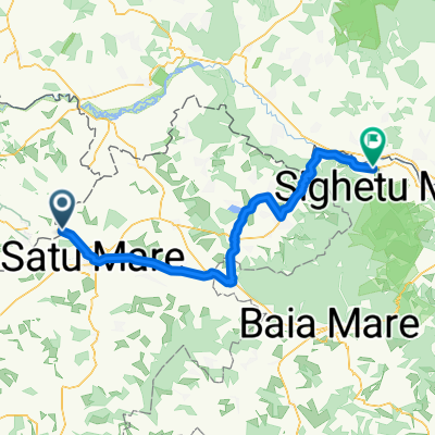
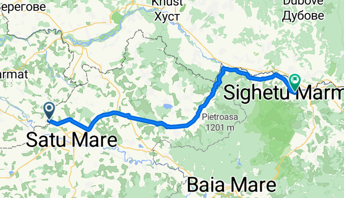
- Dorolţ, Satu Mare County, Romania
A cycling route starting in Dorolţ, Satu Mare County, Romania.
Overview
Statistics computed from imported data
Distance: 67.5 miles Minimum Elevation: 390 feet Maximum Elevation: 1882 feet Total climb: 2039 feet Total descent: 1560 feet
created this 4 months ago
Route quality
Track
16.3 km
(15 %)
Quiet road
13.1 km
(12 %)
Paved
80.6 km
(74 %)
Unpaved
4.4 km
(4 %)
Asphalt
80.6 km
(74 %)
Ground
2.2 km
(2 %)
Continue with Bikemap
You would like to ride TET-Romania-Section 1-20180827 or customize it for your own trip? Here is what you can do with this Bikemap route:
Free trial for 3 days, or one-time payment. More about Bikemap Premium.
Discover more Premium features.
Get Bikemap PremiumFrom our community
Open it in the app