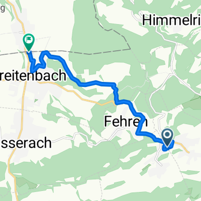
Nunningen-Liestal-Nunningen
- 38.2 km
- 493 m
- 490 m
- Nunningen, Canton of Solothurn, Switzerland
A cycling route starting in Nunningen, Canton of Solothurn, Switzerland.
Overview
A fairly flat route with a short steep climb.
created this 13 years ago
Route quality
Road
16.4 km
(43 %)
Cycleway
3.8 km
(10 %)
Paved
28.7 km
(75 %)
Asphalt
28.7 km
(75 %)
Undefined
9.6 km
(25 %)
Continue with Bikemap
You would like to ride Nunningen-Liestal-Nunningen or customize it for your own trip? Here is what you can do with this Bikemap route:
Free trial for 3 days, or one-time payment. More about Bikemap Premium.
Discover more Premium features.
Get Bikemap PremiumFrom our community
Open it in the app