
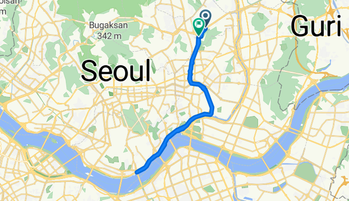
8.16 라이딩
A cycling route starting in Seoul, Seoul, South Korea.
Overview
About this route
- 1 h 18 min
- Duration
- 30.4 km
- Distance
- 1,004 m
- Ascent
- 1,020 m
- Descent
- 23.6 km/h
- Avg. speed
- 63 m
- Max. altitude

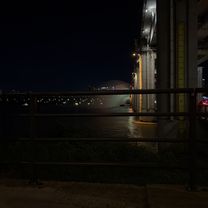
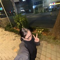
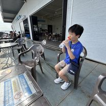
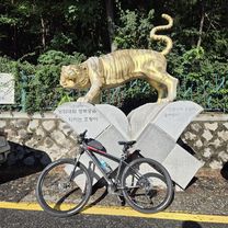
Route photos


Continue with Bikemap
Use, edit, or download this cycling route
You would like to ride 8.16 라이딩 or customize it for your own trip? Here is what you can do with this Bikemap route:
Free features
- Save this route as favorite or in collections
- Copy & plan your own version of this route
- Sync your route with Garmin or Wahoo
Premium features
Free trial for 3 days, or one-time payment. More about Bikemap Premium.
- Navigate this route on iOS & Android
- Export a GPX / KML file of this route
- Create your custom printout (try it for free)
- Download this route for offline navigation
Discover more Premium features.
Get Bikemap PremiumFrom our community
Other popular routes starting in Seoul
 토정동, 서울특별시 to 불광동, 서울특별시
- Distance
- 34.8 km
- Ascent
- 1,056 m
- Descent
- 1,038 m
- Location
- Seoul, Seoul, South Korea
 8.16 라이딩
- Distance
- 30.4 km
- Ascent
- 1,004 m
- Descent
- 1,020 m
- Location
- Seoul, Seoul, South Korea
 1 Seonwon - Hanam
- Distance
- 64.5 km
- Ascent
- 722 m
- Descent
- 723 m
- Location
- Seoul, Seoul, South Korea
 신반포로, 서울특별시에서 방배로, 서울특별시까지
- Distance
- 27.9 km
- Ascent
- 240 m
- Descent
- 234 m
- Location
- Seoul, Seoul, South Korea
 잠원로, 서울특별시에서 방배동, 서울특별시까지
- Distance
- 30.1 km
- Ascent
- 203 m
- Descent
- 215 m
- Location
- Seoul, Seoul, South Korea
 잠원동, 서울특별시에서 잠원로, 서울특별시까지
- Distance
- 8.1 km
- Ascent
- 112 m
- Descent
- 115 m
- Location
- Seoul, Seoul, South Korea
 노량진동, 서울특별시 to 노량진동, 서울특별시
- Distance
- 28.2 km
- Ascent
- 204 m
- Descent
- 199 m
- Location
- Seoul, Seoul, South Korea
 남북코스-251008
- Distance
- 48.6 km
- Ascent
- 651 m
- Descent
- 651 m
- Location
- Seoul, Seoul, South Korea
Open it in the app