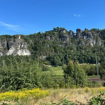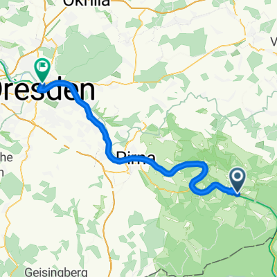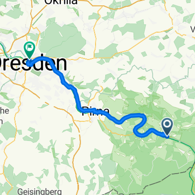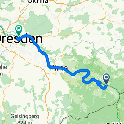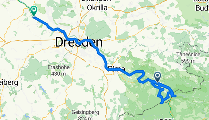

B172 do An der Elbe
- 13.6 km
- 48 m
- 99 m
- Bad Schandau, Saxony, Germany
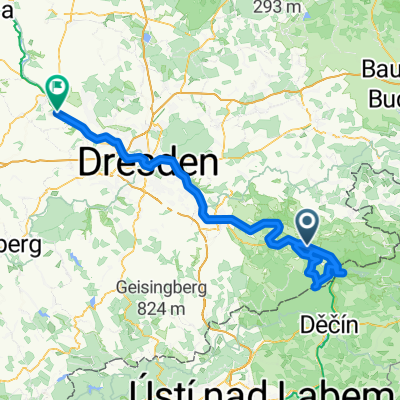
Von Herrnskretschen bis Kemberg
A cycling route starting in Bad Schandau, Saxony, Germany.
Overview
created this 4 months ago
Part of
3 stages
Route quality
Path
26 km
(21 %)
Cycleway
26 km
(21 %)
Paved
101.6 km
(82 %)
Unpaved
11.1 km
(9 %)
Asphalt
101.6 km
(82 %)
Loose gravel
6.2 km
(5 %)
Continue with Bikemap
You would like to ride Tetschen - Meißen or customize it for your own trip? Here is what you can do with this Bikemap route:
Free trial for 3 days, or one-time payment. More about Bikemap Premium.
Discover more Premium features.
Get Bikemap PremiumFrom our community
Open it in the app